What is recorded here
Situated in gently undulating pasture. Depicted on the revised 1913 ed. OS 25-inch map as an oval-shaped area of rock outcrop which is enclosed by a field boundary. Ringfort (WM020-072----) lies c. 115m to W. According to Waddell (1970, 134) this is a short, rectangular cist (dims. 3ft. x 1ft. x 1ft) of Bronze Age type, with a paved floor. It contained a bowl food vessel and cremated bones (NMI Reg. No. 1885: 355). The field boundary which surrounded the cist is not visible today on Digital Globe aerial photography.
Compiled by Alison McQueen, Vera Rahilly and Caimin O’Brien.
Date of upload: 05 July 2019
The monument record does not grant public access. Check the route and ask the landowner before entering private land.
- What survives
- Recorded monument
Places near here
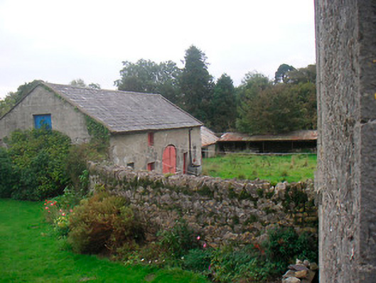 Huntingdon Houseoutbuilding · 396 yd
 Tober LastraghHoly well · 642 yd
 EnclosureEnclosure, large enclosure · 909 yd
 Edmondstown Castle (in Ruins)Castle, tower house · 1037 yd
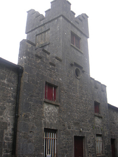 Lisnabin Castlestables, outbuilding · 1355 yd
 CastleCastle, ringwork · 1694 yd
 GinkgoGinkgo · 2.8 mi
 ScregganWood · 6.1 mi
 Croppies' GraveMemorial · 9.8 mi
 Hut site in ClonickilvantHut site · 1460 yd
 Corbally Burial GroundChurch · 1473 yd
 St. Columbkilles WellHoly well · 1.1 mi