What is recorded here
On steep NNE-facing slope, on the demesne lands of Derk House which stands 360m to SSW. A circular tower or folly (LI024-075----) stands 100m to SSW. Not depicted as an antiquity on any edition of the OS 6-inch maps. Depicted on the 1897 ed. OS 25-inch map as a subcircular-shaped tree-planted enclosure. Surveyed by the ASI in 2008 and described as a circular-shaped area (diam. 12m) enclosed by intermittent traces of a low earthen bank (Wth 2m; int. H 0.75m; ext. H 0.17m) from ESE-S-W reduced to a scarp (H 1.35m) visible from W-N-E-ESE with traces of a possible fosse at SW. The interior has a steep NNE-facing slope and there is a large conglomerate boulder (H 3m) in the N quadrant. The interior and bank are planted with Beech trees. Probable tree-ring of Derk House demesne. Monument is visible as a roughly circular-shaped tree-planted earthwork Google Earth orthoimage taken 28/06/2018. See attached sketch plan and cross-sections surveyed and drawn by the ASI.
On steep NNE-facing slope, on the demesne lands of Derk House which stands 360m to SSW. A circular tower or folly (LI024-075----) stands 100m to SSW. Not depicted as an antiquity on any edition of the OS 6-inch maps. Depicted on the 1897 ed. OS 25-inch map as a subcircular-shaped tree-planted enclosure. Surveyed by the ASI in 2008 and described as a circular-shaped area (diam. 12m) enclosed by intermittent traces…
From the National Monuments Service (Archaeological Survey of Ireland) record LI024-074
The monument record does not grant public access. Check the route and ask the landowner before entering private land.
- What survives
- Recorded monument
Places near here
Photo credits
- National Inventory of Architectural Heritage
- EamonnPKeane, Wikimedia Commons · CC0
- Mike Searle, Wikimedia Commons · CC BY-SA 2.0
- Hywel Williams, Geograph · Creative Commons Attribution-ShareAlike 2.0
- Colin Park, Geograph · CC BY-SA 2.0
- CaitNi, Wikimedia Commons · CC BY-SA 4.0
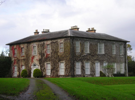 DerkCountry house · 438 yd
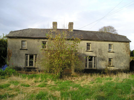 Derk CottageHouse · 1348 yd
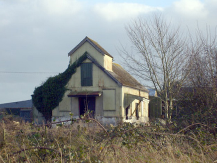 Race CreameryCreamery · 1571 yd
 kiln1.3 mi
 Newtown HouseCountry house · 1.3 mi
 Standing stone in Longstone (cullen Par.)Standing stone · 2.4 miSt. Patrick's WellSpring · 2.7 mi
_-_geograph.org.uk_-_1542131.jpg/250px-Castles_of_Munster,_Oola,_Limerick_(2)_-_geograph.org.uk_-_1542131.jpg "Photo: Mike Searle, Wikimedia Commons · CC BY-SA 2.0") Oola Castle (in ruins)Castle, tower house · 4.0 mi
Oola Castle (in ruins)Castle, tower house · 4.0 mi Castle (in ruins)Castle, tower house · 7.8 mi
 Grave YardGraveyard · 11 mi
 SlievereaghMountain / peak · 11 mi
 CarrigeenamronetyMountain / peak · 17 mi
More archaeology and monuments in County Limerick · All of County Limerick
What do you know about this place?