What is recorded here
Situated on a shoulder of gradually rising ground, in improved pasture, with good views in all directions, particularly to S. Depicted on the 1837 ed. OS 6-inch map and the 1837 OS Fair Plan map as a small rectangular-shaped field (approx. dims. 51m NE-SW; 36m NW-SE) adjoining a field boundary running NE-SW to NW. Not…
Read the whole record
Situated on a shoulder of gradually rising ground, in improved pasture, with good views in all directions, particularly to S. Depicted on the 1837 ed. OS 6-inch map and the 1837 OS Fair Plan map as a small rectangular-shaped field (approx. dims. 51m NE-SW; 36m NW-SE) adjoining a field boundary running NE-SW to NW. Not depicted on the revised 1913 ed. OS 25-inch map. Not depicted as an antiquity on any edition of the OS 6-inch map. Levelled earthwork described in 1983 as a circular-shaped area (approx. diam. 55m) defined by the remains of a levelled scarp. The scarp is best preserved from E-S-W, on the S side of a modern field boundary. The remaining segment of the scarp to N of the modern field fence, can be traced as a slight rise in the field surface from W-N-E. The faintest outline of a possible circular-shaped enclosure is visible on Digital Globe aerial photography.
From the National Monuments Service (Archaeological Survey of Ireland) record WM018-032
Places near here
Photo credits
- National Inventory of Architectural Heritage
- JP, Wikimedia Commons · CC BY-SA 2.0
- Oliver Dixon, Geograph · Creative Commons Attribution-ShareAlike 2.0
- Stephan van Helden, Wikimedia Commons · CC BY-SA 4.0
- Willow, Wikimedia Commons · CC BY 2.5
- Mike Searle, Geograph · CC BY-SA 2.0
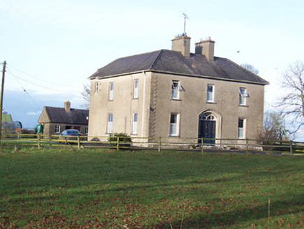 Saint Mary's Catholic ChurchPresbytery/parochial/curate's house · 1620 yd
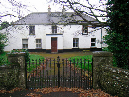 Ballyglass HouseHouse · 1.2 mi
 P. GunningHouse · 1.3 mi
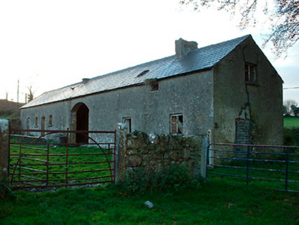 outbuilding1.4 mi
 Rathconrath HouseRectory/glebe/vicarage/curate's house · 1.5 mi
 34th LockLock · 1.6 mi
 Balroe BridgeBridge · 1.6 mi
 Glascarn HouseHouse · 1.7 mi
 Horse-chestnut3.8 mi
 Common Alder6.0 mi
 Carrick CastleCastle · 6.0 mi
 Bawn in CastlereaBawn · 12 mi
More archaeology and monuments in County Westmeath · All of County Westmeath

What do you know about this place?Tap to add a comment or ask a question