What is recorded here
Situated in gently undulating and hummocky pasture. A possible mound (WM018-147----) lies c. 67m to SW. Depicted on the 1837 ed. OS 6-inch map as the outline of a roughly circular-shaped tree-ring. Depicted on the revised 1913 ed. OS 25-inch map as a roughly circular-shaped earthwork.
Monument described as a circular-shaped, round-topped hillock (diam. 27m) enclosed at the base by a relatively modern-looking bank, which resembles a scarp in places and has the remains of a slight external fosse-like feature. A steep-sided gap (Wth at top 3.6m; basal Wth 2m) at NE may represent the entrance. A large portion of the hillock has been quarried at W. A modern field fence contacts the scarp at E. The site may be a tree-ring on the estate of Belmont House which lies c. 365m to SW. Monument is visible as a subcircular-shaped earthwork on Digital Globe aerial photography.
Compiled by: Alison McQueen, Vera Rahilly and Caimin O’Brien
Date of upload: 12 February 2019
The monument record does not grant public access. Check the route and ask the landowner before entering private land.
- What survives
- Recorded monument
Places near here
 gates/railings/wallsgates/railings/walls · 144 yd
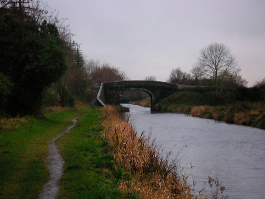 Bellmount Bridgebridge · 205 yd
 OutlinedBawn · 756 yd
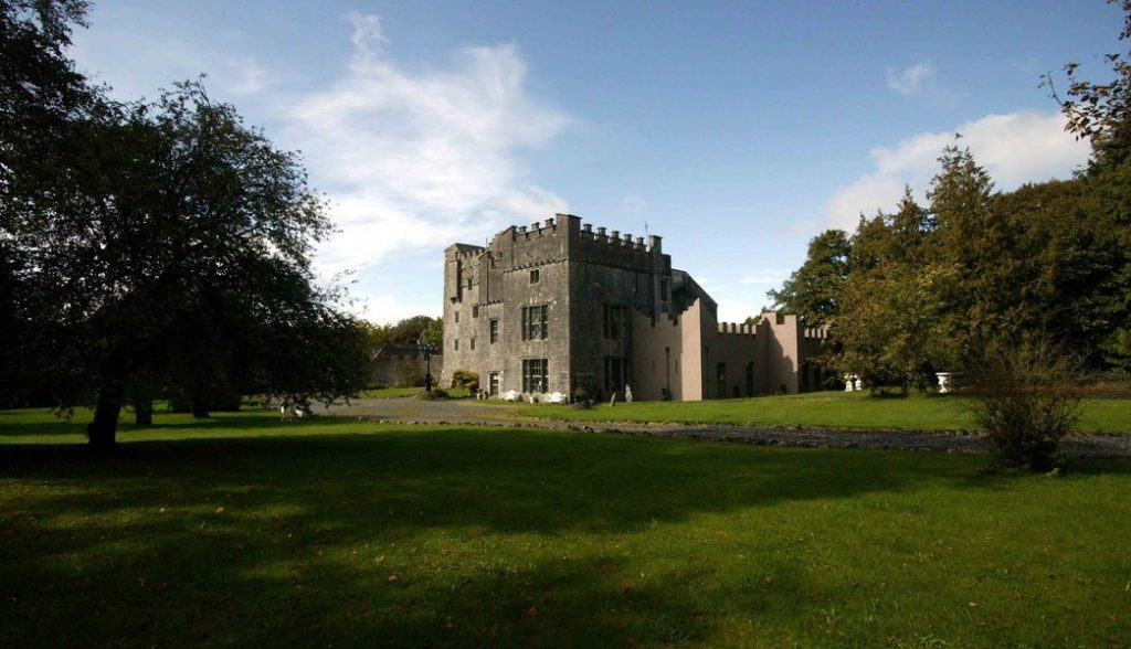 Castle (in Ruins)Castle, tower house · 801 yd
 Ecclesiastical enclosure in Kilpatrick (moyashel & Magheradernon By.)Ecclesiastical enclosure · 992 yd
 Partially hachuredFairy fort / earthen ringfort · 1.1 mi
 WestmeathVisitor information · 3.0 mi
 Srudarra IslandIslet · 3.7 mi
 Carrickphilbin IslandIslet · 3.9 mi
 Common AlderCommon Alder · 11 mi
 Pedunculate OakPedunculate Oak · 12 mi
 Kilmalady HillMountain / peak · 12 mi