What is recorded here
In upland area on reclaimed grassland. Cropmark of rectangular-shaped earthwork (approx. dims. 40m E-W X 19m N-S) defined by a ditch visible on Digital Globe aerial imagery taken 2011-13. Depicted as a small field on 1840 ed. OS 6-inch map and not shown as an antiquity, probably the remains of post-1700 field or paddock.
Compiled by: Caimin O’Brien
Date of upload: 4 June 2020
The monument record does not grant public access. Check the route and ask the landowner before entering private land.
- What survives
- Recorded monument
Places near here
 Gowlagh Bridgebridge · 925 yd
 Enclosure in CoonmoreEnclosure · 1559 yd
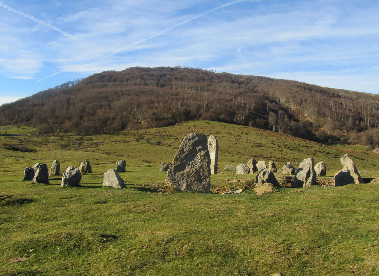 Cromlech (Site of)Megalithic structure · 1738 yd
 Anglesey Bridgebridge · 1.5 mi
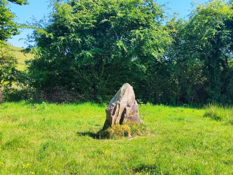 MauherslieveMountain / peak · 2.5 mi
 TooreenMountain / peak · 2.9 mi
 Castle WellerCastle · 7.2 mi
 Tower (in Ruins)Bawn · 7.2 mi
 Sliev Felim WayVisitor information · 8.6 mi
 Graveyard in AbingtonGraveyard · 9.8 mi
 Killavalla WoodForest · 9.9 mi
 The Pollagh TrailNature reserve · 13 mi