
What is recorded here
Area now covered in forestry plantation. Site identified from GSI aerial photograph (R.281/0) taken in 1974. Doubtful antiquity
Compiled by: Jean Farrelly and Caimin O'Brien
Date of upload/revision: 22 September 2008
The monument record does not grant public access. Check the route and ask the landowner before entering private land.
- What survives
- Recorded monument
Places near here
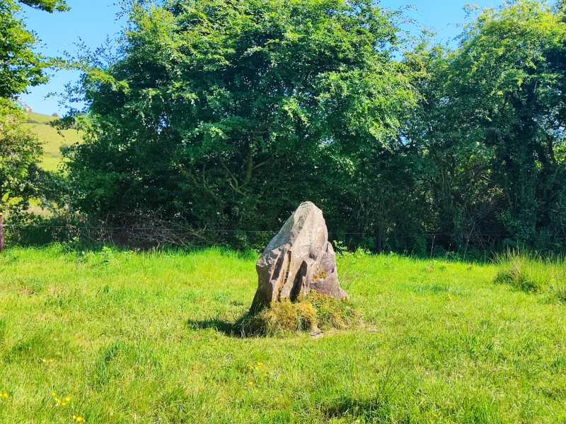
 Dermot & Granias Bed (Site of)Megalithic structure · 1.0 mi
 Anglesey Bridgebridge · 1.3 mi
 Gowlagh Bridgebridge · 1.4 mi
 MauherslieveMountain / peak · 1.6 mi
 Enclosure in Kilcommon (templebeg Par.)Enclosure · 1.6 mi
 KnocknabanshaMountain / peak · 2.8 mi
 Ballyhourigan WoodsForest · 6.3 mi
 Tower (in Ruins)Bawn · 7.1 mi
 Castle WellerCastle · 7.1 mi
 Sliev Felim WayVisitor information · 9.0 mi
 Killavalla WoodForest · 9.1 mi
 Graveyard in AbingtonGraveyard · 10 mi
Other information
Photo: Credit not shown in the picture search · Rights wording not checked; contact us if this picture should be removed