What is recorded here
Situated in gently undulating pasture. Motte with possible bailey (WM031-012----) lie c. 150m to W. Depicted on the revised 1910 ed. OS 25-inch map as a substantial linear-shaped earthwork with a gap off-centre to NW. Monument described in 1973 as a long linear-shaped earthwork defined by a bank of earth and stone running NW-SE. The height of the bank diminishes at the N end where it curves in a semicircle to W. There is a fosse outside the bank at this end. Towards the W side the bank and fosse seem to merge with the townland boundary. The bank has been disturbed by quarrying at the S end and it is not possible to trace the return of a curve which would correspond with that at the N end. Nevertheless, it is possible that the original bank may have enclosed a large suboval-shaped area. There is a possible entrance about half way along the length of the linear bank. The area enclosed within the interior is fairly level and slopes upwards to the bank around the perimeter. A low knoll is situated in the S portion of the interior, which appears to be a natural feature. This earthwork may be associated with the nearby motte and bauley castle. Monument is visible today as a long curvilinear tree-planted earthwork on Digital Globe aerial photography.
Compiled by Alison McQueen, Vera Rahilly and Caimin O’Brien.
Date of upload: 12 November 2019
The monument record does not grant public access. Check the route and ask the landowner before entering private land.
- What survives
- Recorded monument
Places near here
 OutlinedCastle, motte and bailey · 208 yd
 Old Court, Rose MountHouse, 17th century · 250 yd
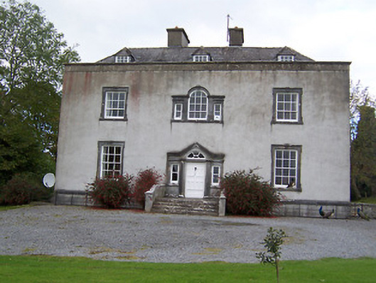 Oldcourt Housecountry house · 267 yd
 ToberavillHoly well · 413 yd
 KnockastiaMountain / peak · 842 yd
 Partially hachuredFairy fort / earthen ringfort · 989 yd
 Japanese pagoda treeJapanese pagoda tree · 1050 yd
 Bishopstown Castle in ruinsCastle, unclassified · 1.3 mi
 Sam's ParkForest · 2.2 mi
 Moate HillMountain / peak · 4.3 mi
 Charles BianconiMemorial · 4.4 mi
 The Bob Traynor GalleryGallery · 4.4 mi