What is recorded here
Located on a low natural rise of ground in undulating countryside. Irregular shaped area (diam. 48m E-W) defined by a poorly preserved scarp (H 0.3m) with gap (Wth 5m) at NE. This appears to have been a natural hillock the base of which has been scarped possibly as a landscape feature such as a tree-ring. No monument is depicted in this area on the 1883 edition of the OS 6-inch map. The revised 1908 ed. OS 25-inch map depicts a circular grove of trees and not an antiquity.
Located on a low natural rise of ground in undulating countryside. Irregular shaped area (diam. 48m E-W) defined by a poorly preserved scarp (H 0.3m) with gap (Wth 5m) at NE. This appears to have been a natural hillock the base of which has been scarped possibly as a landscape feature such as a tree-ring. No monument is depicted in this area on the 1883 edition of the OS 6-inch map. The revised 1908 ed. OS…
From the National Monuments Service (Archaeological Survey of Ireland) record OF044-002
The monument record does not grant public access. Check the route and ask the landowner before entering private land.
- What survives
- Recorded monument
Places near here
Photo credits
- National Inventory of Architectural Heritage
- Morgan Young, Wikimedia Commons · CC BY-SA 2.0
- Mike Searle, Wikimedia Commons · CC BY-SA 2.0
- Mike Searle, Geograph · CC BY-SA 2.0
- Dylan Moore, Geograph · CC BY-SA 2.0
- Liffernet, Wikimedia Commons · CC BY-SA 4.0
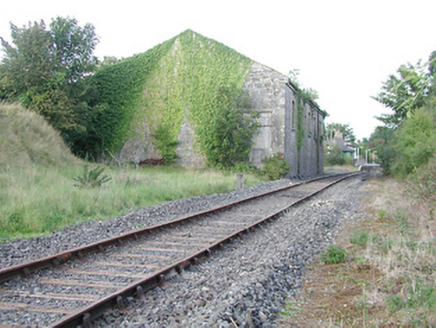 Cloghjordan Railway StationStore/warehouse · 1413 yd
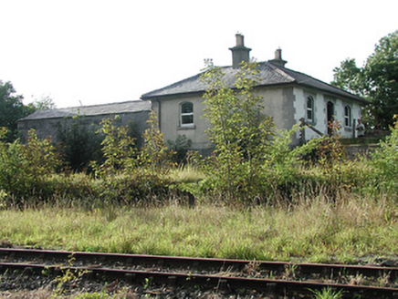 Cloghjordan Railway StationStation master's house · 1480 yd
.jpg/250px-Cloughjordan_(geograph_4238786).jpg "Photo: Morgan Young, Wikimedia Commons · CC BY-SA 2.0") Cloghjordan Railway StationRailway station · 1516 ydThomas MacDonagh Heritage CentreMuseum · 1.0 miMacDonagh HouseMemorial · 1.0 miKnockanacree WoodForest · 2.0 miBallycapple WoodForest · 2.4 mi
Cloghjordan Railway StationRailway station · 1516 ydThomas MacDonagh Heritage CentreMuseum · 1.0 miMacDonagh HouseMemorial · 1.0 miKnockanacree WoodForest · 2.0 miBallycapple WoodForest · 2.4 mi Knockane CastleCastle · 4.5 miJames Devaney MemorialMemorial · 4.6 mi
 KIllaleigh CastleBawn · 4.8 mi
 BorrisokaneHistoric town · 5.9 mi
 Sheela-na-gig in BallyfinboySheela-na-gig · 6.5 mi
More archaeology and monuments in County Offaly · All of County Offaly
What do you know about this place?