What is recorded here
Situated on a slight natural hillock in undulating grassland. The river which forms the boundary with County Meath is 170m to NW. A raised sub-circular shaped area (approx. diam. 33m N-S; 31m E-W) enclosed by a poorly preserved earthen bank and slight external fosse. The bank has been levelled from SSW-W & NNE-E. There is an entrance gap (Wth 1.7m) with internal stone facing at SE. The interior rises slightly towards the centre. Field fences transect the monument at NW & E. See attached section of monument surveyed and drawn by the ASI.
Situated on a slight natural hillock in undulating grassland. The river which forms the boundary with County Meath is 170m to NW. A raised sub-circular shaped area (approx. diam. 33m N-S; 31m E-W) enclosed by a poorly preserved earthen bank and slight external fosse. The bank has been levelled from SSW-W & NNE-E. There is an entrance gap (Wth 1.7m) with internal stone facing at SE. The interior rises slightly…
From the National Monuments Service (Archaeological Survey of Ireland) record WM009-014
The monument record does not grant public access. Check the route and ask the landowner before entering private land.
- What survives
- Recorded monument
Places near here
Photo credits
- National Inventory of Architectural Heritage
- Sitomon, Wikimedia Commons · CC BY-SA 2.0
- surrealpenguin, Wikimedia Commons · CC BY-SA 2.0
- Brian Shaw, Wikimedia Commons · CC BY-SA 2.0
- Gavigan, Wikimedia Commons · CC BY-SA 3.0
- John M, Wikimedia Commons · CC BY-SA 2.0
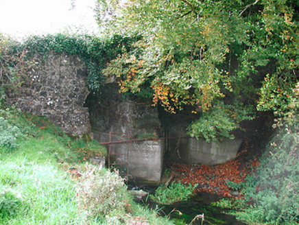 Snipe's BridgeBridge · 563 yd
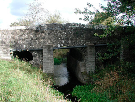 Graulty's BridgeBridge · 1178 ydNot indicatedEcclesiastical enclosure · 1.1 mi
 Rosmead HouseCountry house · 1.1 mi
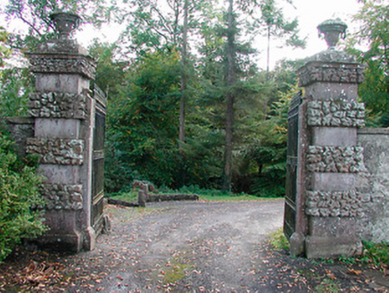 Ballinlough CastleDemesne walls/gates/railings · 1.4 mi
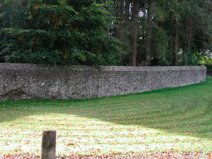 Ballinlough CastleDemesne walls/gates/railings · 1.4 miIndicatedFairy fort / earthen ringfort · 1.4 mi
 European Yew1.5 mi
 Persian Walnut1.6 mi
 CastleCastle, tower house · 2.9 mi
 Clonyn CastleCastle · 2.9 mi
 LoughcrewMegalithic tomb cemetery · 7.2 mi
More archaeology and monuments in County Westmeath · All of County Westmeath
What do you know about this place?