What is recorded here
Circular building located on top of high ground with panoramic views in all directions. This building appears to be 18th century in date as it is marked as a ruin on the 1837 OS Fair Plan where it is labelled in pencil as 'Belfry Ruins'. This building is described in the OS memoranda as 'A building to hang a bell situated on top of a hill which was used for the purpose of calling the workmen to the adjacent mill' (SMR file). On the 1837 OS 6-inch map the corn mill is located 220m to the SSE of the belfry.
Compiled by: Caimin O'Brien
Date of upload: 10 September 2010
The monument record does not grant public access. Check the route and ask the landowner before entering private land.
- What survives
- Recorded monument
Places near here
 Noggin HillMountain / peak · 50 yd
 OutlinedFairy fort / earthen ringfort · 865 yd
 Partially outlinedFairy fort / earthen ringfort · 955 yd
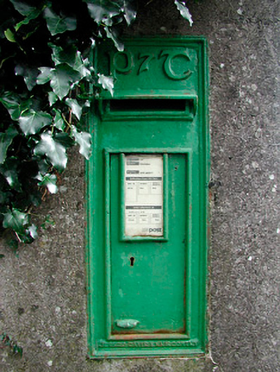 post boxpost box · 1291 yd
 The Sloe HillMountain / peak · 1687 yd
 CastleCastle, tower house · 1.1 mi
 Corn Mill, Mill PondWater mill, unclassified · 1.5 mi
 Green CastleCastle, unclassified · 2.0 mi
 The FurzeForest · 2.2 mi
 South East GateHeritage attraction · 2.5 mi
 The Keeper's FieldForest · 2.6 mi
 Fore AbbeyHeritage attraction · 2.6 mi