What is recorded here
Situated on a low rise, in pasture, with good views of the surrounding landscape. In NW quadrant of ringfort (WM038-033----) are the remains of a small square-shaped house site defined by stone walls. The walls are surrounded by loose stone which probably represents collapse from the upper walls. The monument is densely overgrown rendering close examination difficult. Ringfort and house site levelled in the early 1980s. Not visible today on Digital Globe aerial photography.
From the National Monuments Service (Archaeological Survey of Ireland) record WM038-033001
Places near here
Photo credits
- National Inventory of Architectural Heritage
- Brian Shaw, Wikimedia Commons · CC BY-SA 2.0
- kevin higgins, Wikimedia Commons · CC BY-SA 2.0
- Dalenevada, Wikimedia Commons · CC BY-SA 4.0
- Mike Searle, Geograph · CC BY-SA 2.0
- JP, Geograph · CC BY-SA 2.0
- Willow, Wikimedia Commons · CC BY 2.5
- Algirdas at Lithuanian Wikipedia, Wikimedia Commons · Public domain
 Saint Hugh's Catholic ChurchChurch/chapel · 1489 yd
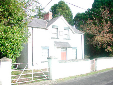 presbytery/parochial/curate's house, building misc1509 yd
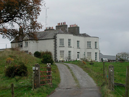 Cornaher HouseCountry house · 1510 yd
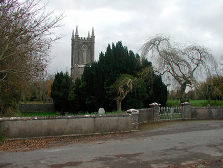 Christ Church (Newtown)Church/chapel · 1.3 mi
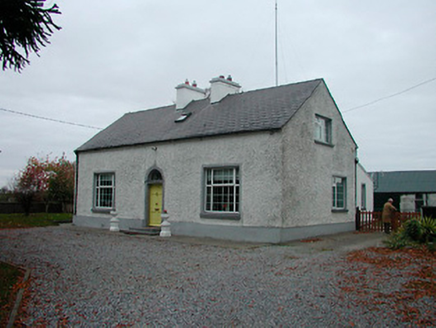 MayvilleHouse · 1.4 mi
 Tyrrellspass CastleCastle, tower house · 2.3 mi
 St. Columbkilles CrossCross, High cross · 5.0 mi
 CrossCross, High cross · 5.1 mi
 Durrow MoatCastle, motte · 5.1 mi
 Grand Canal WayWalking route · 6.0 mi
 European ash6.4 mi
 Pedunculate Oak7.6 mi
More historic places in County Westmeath · All of County Westmeath

What do you know about this place?Tap to add a comment or ask a question