What is recorded here
No credible facts exist to answer the request.
In pasture on a slight SE-facing slope, with moderate to good views to the S and E with moderate views to the W and N. Standing immediately NW of entrance avenue to Caherass Court 415m to SW. Located 210m N of the River Maigue and the townland boundary with Ballynahown. Ringfort (LI021-091----) 65m to NW, Caherass Church (LI021-090----) 200m to S. Depicted as a circular enclosure around a copse of trees on the 1840 ed. OSi 6-inch map and not as an antiquity. Shown on the 1897 ed. OSi 25-inch map as a circular-shaped area (ext. diam. 40m) defined by a fosse and by a post-1700 field boundary from SW-W-N-E to ESE, intersected at SE by an estate access road. Inspected by ASI in 2001 when it was described as a raised roughly circular shaped area (int. diam. 37m N-S; 35m E-W) defined by an earthen bank (Wth 6m; int. D 0.4m; ext. D 0.55m) with an entrance gap (Wth 4.5m) at SE. The interior undulates and slopes slightly SE. The addition of (now mature) estate trees suggests the site was converted into a landscape demesne feature or tree-ring. The site is partially tree covered and is visible on Google Earth orthoimages taken 28/06/2018 and 14/02/2020.
See attached sketch plan surveyed and drawn by the ASI and Google Earth orthoimages
Compiled by: Edmond O’Donovan
Date of upload: 16 August 2020
The monument record does not grant public access. Check the route and ask the landowner before entering private land.
- What survives
- Recorded monument
Places near here
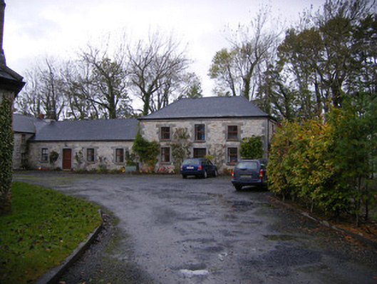 Caherass Houseoutbuilding · 162 yd
 Church (in ruins)Church · 237 yd
 BarrowBarrow, ditch barrow · 382 yd
 Burnt spread in CroomBurnt spread · 1369 yd
 Fanningstown Castle (in ruins)Castle, tower house · 1454 yd
 Dysert AenghusaHeritage attraction · 1.1 mi
 Site of CastleCastle, unclassified · 1.3 mi
 Biodiversity in the Maigue CatchmentVisitor information · 1.3 mi
 European ashEuropean ash · 2.0 mi
 GinkgoGinkgo · 2.5 mi
 Kinnoor WellSpring · 2.7 mi
 Monasteranenagh AbbeyHeritage attraction · 3.3 mi