
What is recorded here
Cropmark of possible ditch barrow (approx. overall diam. 15m) consisting of a circular-shaped are (approx. diam. 9m) defined by a fosse with second barrow (LI021-193----) immediately to NE visible on Digital Globe orthoimage taken 2011-13, and earlier OSi orthoimages.
See attached Google Earth orthoimage taken 14/02/2020
Compiled by: Caimin O'Brien
Date of upload: 30 July 2020
Ditch barrow, likely dating to the Early Bronze Age. Its significance lies in its association with a broader burial landscape, indicated by the proximity of another barrow to the northeast.
The monument record does not grant public access. Check the route and ask the landowner before entering private land.
- What survives
- Recorded monument
Places near here
 Old MillMill, unclassified · 84 yd
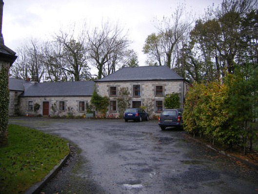 Caherass Houseoutbuilding · 338 yd
 IndicatedEnclosure · 1232 yd
 Fanningstown Castle (in ruins)Castle, tower house · 1404 yd
 Burnt spread in CroomBurnt spread · 1422 yd
 Biodiversity in the Maigue CatchmentVisitor information · 1.3 mi
 Dysert AenghusaHeritage attraction · 1.3 mi
 Site of CastleCastle, unclassified · 1.4 mi
 European ashEuropean ash · 2.0 mi
 GinkgoGinkgo · 2.6 mi
 Kinnoor WellSpring · 2.9 mi
 Monasteranenagh AbbeyHeritage attraction · 3.2 mi
Other information
Photo: Credit not shown in the picture search · Rights wording not checked; contact us if this picture should be removed