
What is recorded here
Castleroberts stood south of the River Maigue from 1290 until its stones were torn out to build a local bridge. It passed through abbey ministers, ruined grants, and several owners before demolition. The castle did not fade; it was dismantled and redeployed, turning a fortified manor into road infrastructure.
A castle is depicted standing to the S of the River Maigue on the Down Survey map of Ballingaddy parish (NLI, MS 718).
Westropp (1906-75, 165) recorded the following details on Castlerobert; ‘A manor, often named with Adare, from 1290 onwards. Its survey in 1331 is copied into the "Red Book" of the Earl of Kildare. 1559 The minister of Trynety Abbey had in Castle Robert a C. "which was lawles lands." 1595 The ruinous C. granted to Wallop. 1617 It was held as a possession of the Trinitarian or White Abbey, with salmon and eel weirs, by Sir J. Jephson (Inq. Chan., 5). 1638 C. and land of Robertstown or Castle Robert granted to N. Lylles; he died before 1657. (See C.S., xxiv., p. 40.) 1666 Confirmed to Sir E. Ormsby, 1669, and to Geo. Evans, of Ballyphilip, County Cork, in 1669 (Act Sett.). The church [LI021-132----] and C. were demolished for material for the bridge [LI021-036----]'.
Compiled by: Caimin O'Brien
Date of upload: 02 January 2019
The monument record does not grant public access. Check the route and ask the landowner before entering private land.
- What survives
- Recorded monument
Places near here
 Adare Manorgate lodge · 364 yd
 Castleroberts Bridgebridge · 409 yd
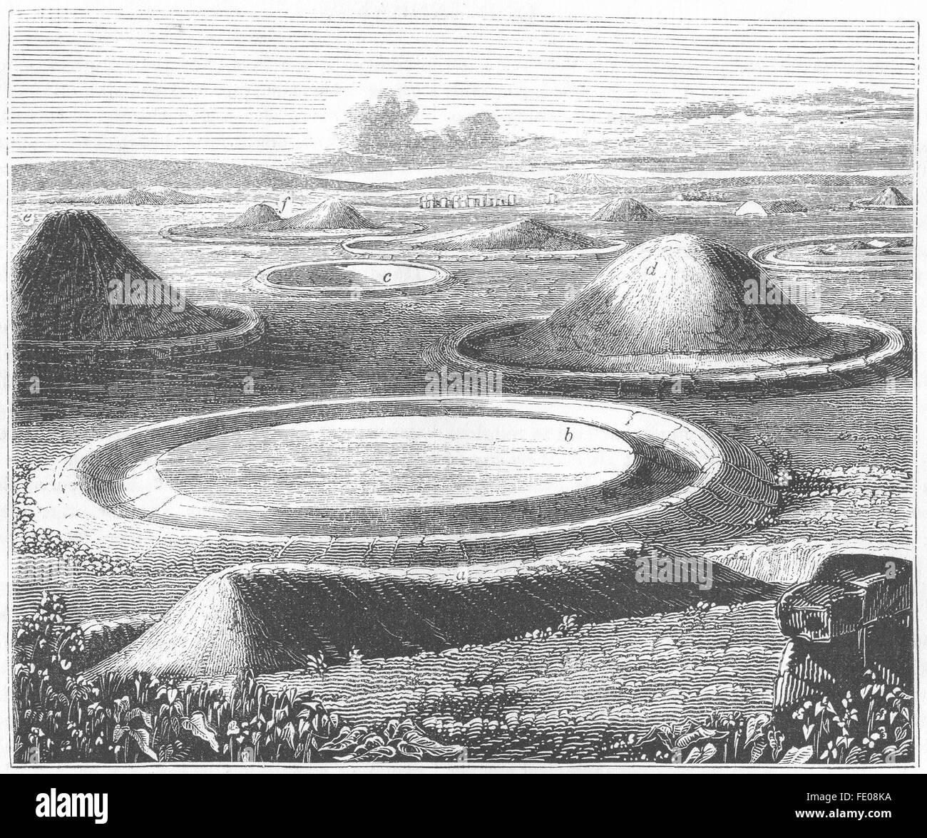 BarrowBarrow, mound barrow · 731 yd
 Enclosure in CastlerobertsEnclosure · 1207 yd
 Fanningstown Castle (in ruins)Castle, tower house · 1.0 mi
 Bawn in DunnamanBawn · 1.3 mi
 GinkgoGinkgo · 1.4 mi
 European YewEuropean Yew · 1.4 mi
 Dysert AenghusaHeritage attraction · 1.7 mi
 Adare Tourist OfficeVisitor information · 1.9 mi
 Adare Desmond CastleMedieval castle · 2.0 mi
 Biodiversity in the Maigue CatchmentVisitor information · 2.4 mi
Other information
Photo: Credit not shown in the picture search · Rights wording not checked; contact us if this picture should be removed