
What is recorded here
On level ground within a modern farmyard 400m E of the townland boundary with Fanningstown, 200m SSE of an enclosure (LI021-038----). The site was depicted as a circular enclosure on the 1840 ed. OSi 6-inch map (diam. c. 30m) with a separate field boundary of post-1700 date abutting its S side. It is depicted on the 1897 ed. OSi 25-inch map as an oval embanked enclosure (30m N-S; 34m E-W) with no external ditch. The S boundary of the enclosure is illustrated as partially removed and incorporated into a linear field boundary of post-1700 date. The later OSi Cassini 6-inch map depicts the site unchanged. Inspected by ASI in 2000 when no extant trace of the monument was visible above ground level. The linear field boundary of post-1700 date may incorporate the truncated remains of a small section of the S enclosure bank. The levelled enclosure is not visible on Google earth orthophotos taken 28/06/2018 and 14/02/2020.
See attached Google Earth orthoimages
Compiled by: Edmond O’Donovan
Date of upload: 30 July 2020
The monument record does not grant public access. Check the route and ask the landowner before entering private land.
- What survives
- Recorded monument
Places near here
 Partially hachuredFairy fort / earthen ringfort · 446 yd
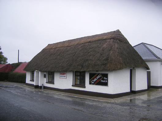 The Thatchhouse · 517 yd
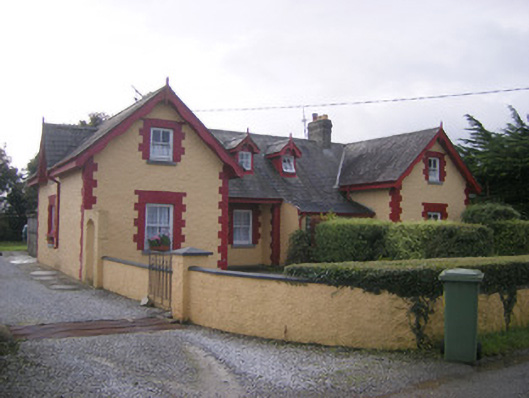 worker's houseworker's house · 517 yd
 Fanningstown Castle (in ruins)Castle, tower house · 971 yd
 Site of CastleCastle, unclassified · 1207 yd
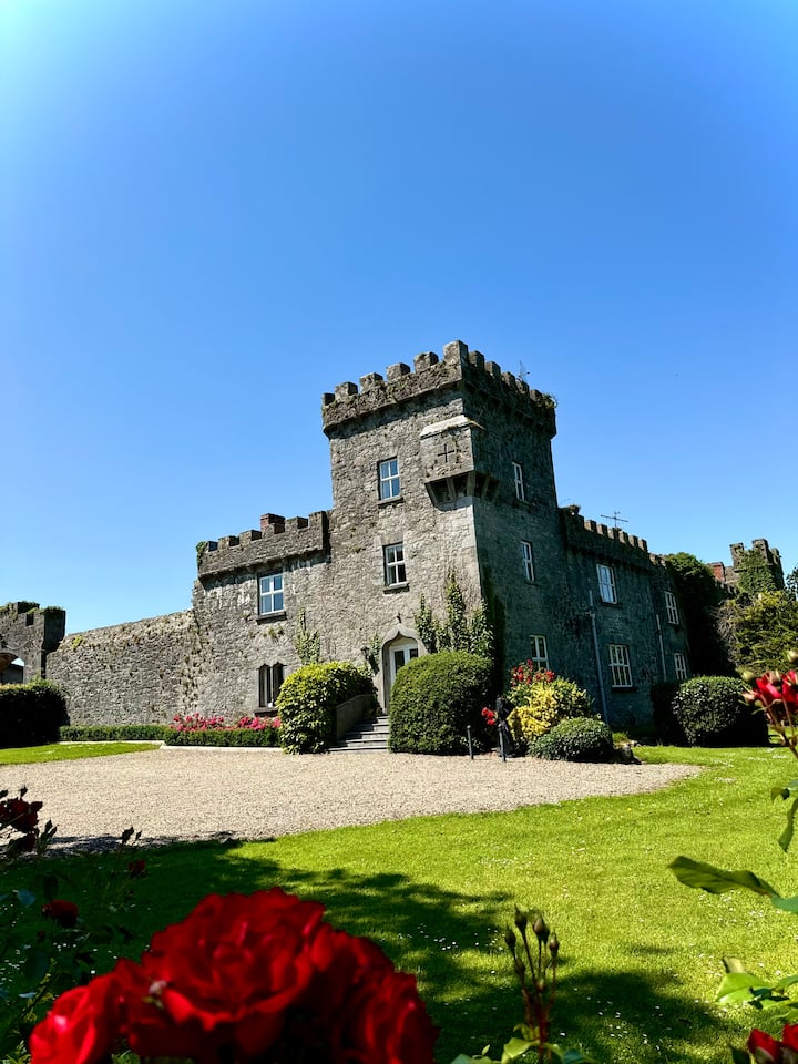 OutlinedEnclosure · 1486 yd
 GinkgoGinkgo · 1.4 mi
 European YewEuropean Yew · 1.4 mi
 Adare Desmond CastleMedieval castle · 1.8 mi
 Desmond CastleHeritage attraction · 1.8 mi
 Adare Tourist OfficeVisitor information · 1.9 mi
 Biodiversity in the Maigue CatchmentVisitor information · 2.5 mi
Other information
Photo: Credit not shown in the picture search · Rights wording not checked; contact us if this picture should be removed