
What is recorded here
Ruins of medieval church also known as the Chapel of Say in the parish of Croom, stands on the N bank of the River Maigue overlooking a fording point and fishing weir. On the demesne lands of Caherass Court, 300m to W, mill race to S with Old Mill (LI021-113----) 435m to NE. According to Fitzgerald (1826, 332) this church was once a chapel of ease belonging to the Carbery family on whose land the chapel stood. Westropp (1904-5, 384) recorded the following details on Caherass; ‘ About 1251 John Flandrens made quit claim to Dysert Enegus, and Cathyrasse [Caherass], and in 1256 Bishop Robert leased the latter, with its fishery, also in 1272 (B.B.L., No. xlvii., lxi.); Chapel of Say, alias Cathiorassa, 1410; Cap. Say, in rect. de Cromoth, 1418; Carassie, 1601; Capella Say, 1615 b. Reeves, however, identifies it with Dunkepchy. The chapel was closed after its desecration by the suicide in it of its chaplain (Fitzgerald, i., p. 332). Fabric - The ivied walls stand on the bank of the Maigue, thickly overgrown'.
Compiled by: Caimin O'Brien
Date of upload: 31 December 2018
The Church (in ruins) at Caherass, also known as the Chapel of Say, was likely built in the medieval period, probably between the 13th and 15th centuries, as part of the parish of Croom. Its location on the River Maigue suggests it served a local farming or riverine community, though specific builders or dedications are not recorded.
The monument record does not grant public access. Check the route and ask the landowner before entering private land.
- What survives
- Recorded monument
Places near here
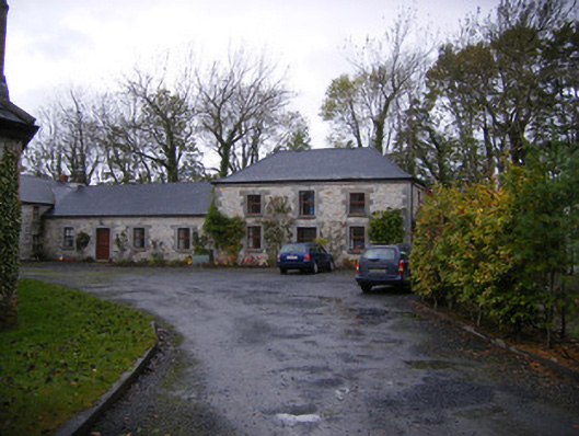 Caherass Houseoutbuilding · 223 yd
 Old MillMill, unclassified · 484 yd
 BarrowBarrow, ditch barrow · 557 yd
 Burnt spread in CroomBurnt spread · 1187 yd
 Fanningstown Castle (in ruins)Castle, tower house · 1677 yd
 Dysert AenghusaHeritage attraction · 1706 yd
 Biodiversity in the Maigue CatchmentVisitor information · 1.2 mi
 Site of CastleCastle, unclassified · 1.3 mi
 European ashEuropean ash · 1.9 mi
 Kinnoor WellSpring · 2.6 mi
 GinkgoGinkgo · 2.6 mi
 Monasteranenagh AbbeyHeritage attraction · 3.3 mi
Other information
Photo: Credit not shown in the picture search · Rights wording not checked; contact us if this picture should be removed