What is recorded here
Brockagh Castle (WM012-173----) situated on a low natural hill which forms part of a long N-S ridge, in undulating grassland, with good views in all directions. On the revised 1911 ed. OS 25-inch map Brockagh Castle is shown as standing in the centre of sub-circular shaped enclosure (approx. diam. 58m NW-SE; 45m NE-SW) which is not depicted on the 1837 ed. OS 6-inch map. The outline of this enclosure is clearly visible on aerial photograph taken 1971 (CUCAP BGH102). This enclosure seems to be of a later date than the castle and was probably built when the trees were planted. The land was formerly part of the Ballynagall Estate and the enclosure was probably a small tree plantation as shown on the revised 1911 ed. OS 25-inch map.
Compiled by: Frank Coyne and Caimin O'Brien
Date of upload: 9 March 2018
The monument record does not grant public access. Check the route and ask the landowner before entering private land.
- What survives
- Recorded monument
Places near here
 IndicatedCastle, tower house · 9 yd
 Long PlantingForest · 546 yd
 OutlinedFairy fort / earthen ringfort · 713 yd
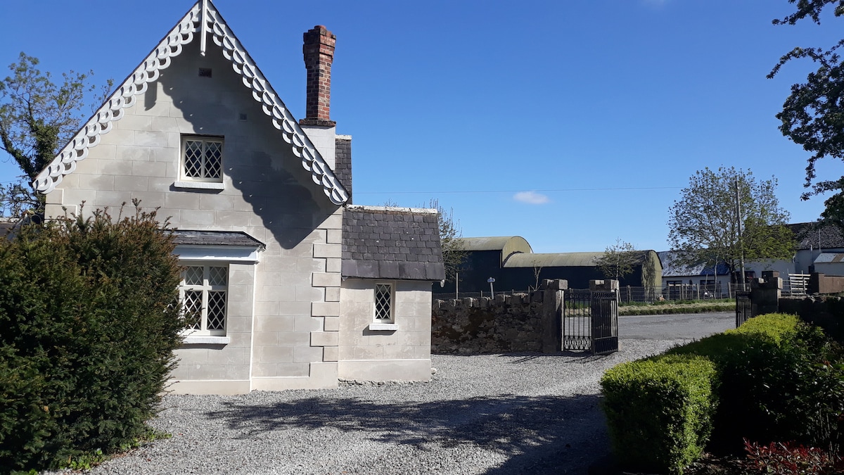
 Knockdrin Castlegate lodge · 960 yd
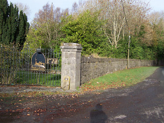 Ballynagalldemesne walls/gates/railings · 1076 yd
 Partially hachuredFairy fort / ringfort · 1084 yd
 Castle (in Ruins)Castle, tower house · 1.3 mi
 Saint Brigid's WellSpring · 1.3 mi
 Scragh Bog Nature ReserveNature reserve · 1.4 mi
 Church IslandIsland · 1.5 mi
 United Nations War MemorialMemorial · 2.0 mi
 Srudarra IslandIslet · 2.2 mi