
What is recorded here
Brockagh Castle (WM012-173----) situated on a low natural hill which forms part of a long N-S ridge, in undulating grassland, with good views in all directions. On the revised 1911 ed. OS 25-inch map Brockagh Castle is shown as standing in the centre of sub-circular shaped enclosure (approx. diam. 58m NW-SE; 45m…
Read the whole record
From the National Monuments Service (Archaeological Survey of Ireland) record WM012-173001
Places near here
Picture notes
- Computer-made picture. It does not show this monument.
- Mike Searle, Geograph · Creative Commons Attribution-ShareAlike 2.0
- National Inventory of Architectural Heritage
- kevin higgins, Wikimedia Commons · CC BY-SA 2.0
- Bridget Neville, Wikimedia Commons · CC BY-SA 4.0
- kevin higgins, Geograph · CC BY-SA 2.0
- Computer-made picture. It does not show this playground.
 Fairy fort / earthen ringfort in BrockaghFairy fort / earthen ringfort · 747 ydTom: I’m here to help · Computer-made picture. It does not show this monument.
Explorer Tom Fairy fort / earthen ringfort in Brockagh has caught my eye in Brockagh, County Westmeath. I bet a fairy fort / earthen ringfort with a name like that could keep me talking all afternoon; I'm already inventing a daft little scene for it, and I'll stop before it turns into history.
 Earthwork in Culleen MoreEarthwork · 928 ydTom: I’m here to help · Computer-made picture. It does not show this monument.
Explorer Tom Earthwork in Culleen More has caught my eye in Culleen More, County Westmeath. I bet a earthwork with a name like that could keep me talking all afternoon; I'm already inventing a daft little scene for it, and I'll stop before it turns into history.
 Knockdrin CastleGate lodge · 960 yd
Explorer Tom Knockdrin Castle has caught my eye in Knockdrin, County Westmeath. I bet a gate lodge with a name like that could keep me talking all afternoon; I'm already inventing a daft little scene for it, and I'll stop before it turns into history.
 Fairy fort / earthen ringfort in Culleen MoreFairy fort / earthen ringfort · 996 ydTom: I’m here to help · Computer-made picture. It does not show this monument.
Explorer Tom Fairy fort / earthen ringfort in Culleen More has caught my eye in Culleen More, County Westmeath. I bet a fairy fort / earthen ringfort with a name like that could keep me talking all afternoon; I'm already inventing a daft little scene for it, and I'll stop before it turns into history.
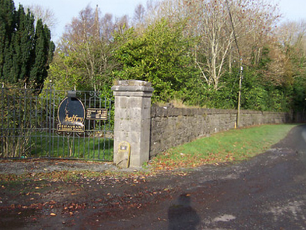 BallynagallDemesne walls/gates/railings · 1076 yd
Explorer Tom Ballynagall has caught my eye in Ballynagall, County Westmeath. I bet a demesne walls/gates/railings with a name like that could keep me talking all afternoon; I'm already inventing a daft little scene for it, and I'll stop before it turns into history.
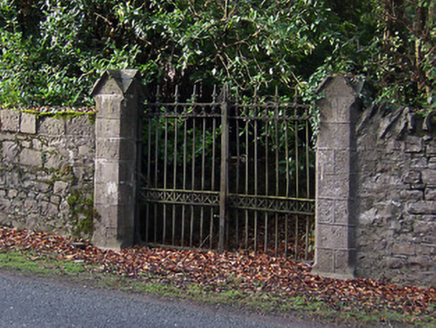 Saint Mary's Church (Portnashangan)Gates/railings/walls · 1137 yd
Explorer Tom Saint Mary's Church (Portnashangan) has caught my eye in Ballynagall, County Westmeath. I bet a gates/railings/walls with a name like that could keep me talking all afternoon; I'm already inventing a daft little scene for it, and I'll stop before it turns into history.
 Fairy fort / earthen ringfort in Knockdrin (moyashel & Magheradernon By.)Fairy fort / earthen ringfort · 1299 ydTom: I’m here to help · Computer-made picture. It does not show this monument.
Explorer Tom Fairy fort / earthen ringfort in Knockdrin has caught my eye in Knockdrin, County Westmeath. I bet a fairy fort / earthen ringfort with a name like that could keep me talking all afternoon; I'm already inventing a daft little scene for it, and I'll stop before it turns into history.
 Ballynegall HouseRuins · 1385 yd
Explorer Tom Ballynegall House has caught my eye in County Westmeath. I bet a ruins with a name like that could keep me talking all afternoon; I'm already inventing a daft little scene for it, and I'll stop before it turns into history.
 Fairy fort / ringfort in Ballynagall (corkaree By.)Fairy fort / ringfort · 1438 ydTom: I’m here to help · Computer-made picture. It does not show this monument.
Explorer Tom Fairy fort / ringfort in Ballynagall has caught my eye in Ballynagall, County Westmeath. I bet a fairy fort / ringfort with a name like that could keep me talking all afternoon; I'm already inventing a daft little scene for it, and I'll stop before it turns into history.
 Saint Brigid's WellSpring · 1.3 mi
Explorer Tom Saint Brigid's Well has caught my eye in County Westmeath. I bet a spring with a name like that could keep me talking all afternoon; I'm already inventing a daft little scene for it, and I'll stop before it turns into history.
 Church IslandIsland · 1.5 mi
Explorer Tom Church Island has caught my eye in County Westmeath. I bet a island with a name like that could keep me talking all afternoon; I'm already inventing a daft little scene for it, and I'll stop before it turns into history.
 Children's playground4.8 miTom: I’m here to help · Computer-made picture. It does not show this playground.
Explorer Tom Children's playground has caught my eye in County Westmeath. I bet a children's playground with a name like that could keep me talking all afternoon; I'm already inventing a daft little scene for it, and I'll stop before it turns into history.
More archaeology and monuments in County Westmeath · All of County Westmeath

What do you know about this place?Tap to add a comment or ask a question