
Places near here
Photo credits
- National Inventory of Architectural Heritage
- Maker named on the Wikimedia Commons picture page · CC BY-SA 2.5
- Alvesgaspar, Wikimedia Commons · CC BY-SA 3.0
- Jamesco101, Wikimedia Commons · CC BY-SA 4.0
- Mike Searle, Geograph · CC BY-SA 2.0
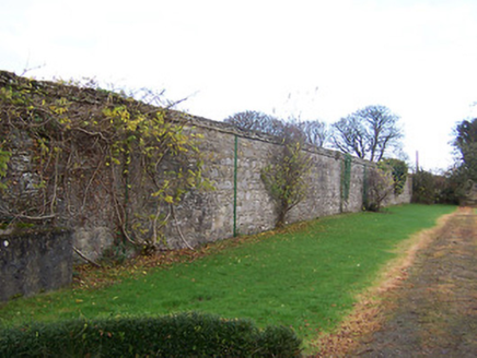 Mearscourt HouseWalled garden · 1079 yd
Explorer Tom Mearscourt House walled garden would cope on a reality show by judging everyone’s vegetable-growing skills with silent disdain. Those extensive walls are perfect for hiding from the camera crew and dramatic confessions. What would be its first elimination strategy there?
 Rathcastle HouseHouse · 1212 yd
Explorer Tom Rathcastle House has a secret fan club of local goats who admire its Ionic doorcase from a distance. They probably think it’s a very fancy feeding trough, which is honestly not far off. Wave to the imaginary herd if you see them.
 gates/railings/walls1752 yd
Explorer Tom Those rustic gate piers in Curraghboy are holding onto their North Leinster roots tight, refusing to let go even when everything else changes. There’s a bird up there who has officially refused to leave, claiming it as its personal throne and judging every passerby. Pa
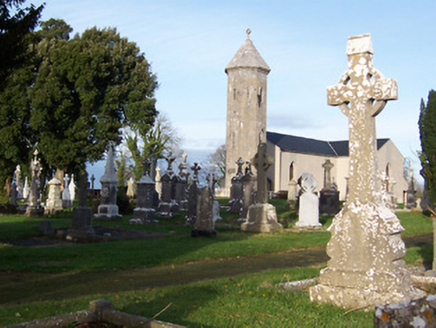 Saint Mary's Catholic ChurchChurch/chapel · 1.4 mi
Explorer Tom Saint Mary's Catholic Church in Corkan gave up its bells for Lent, which was a bold move given how quiet it gets anyway. It’s a simple T-plan chapel that looks like it’s been waiting for a sequel since the mid-nineteenth century. Stand on the public ground and let it keep its silence as a sacred duty.
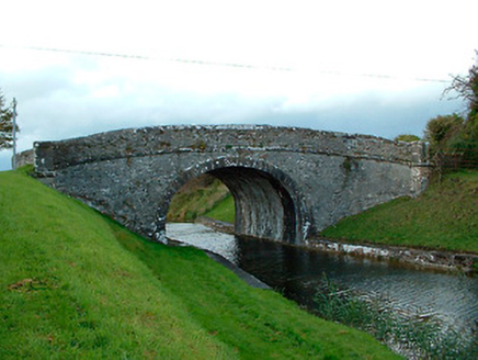 Kiddy's BridgeBridge · 1.9 mi
Explorer Tom Kiddy's Bridge in Castlegaddery is a sturdy canal bridge that once nearly got sold to a farmer for the price of a good horse. The farmer backed out when he saw how much stone it weighed, so now it stands there feeling undervalued and a bit grumpy about it. It’s built from local rock, which means it’s tougher than most people think and doesn’t care about your opinions. Step carefully across the pl!
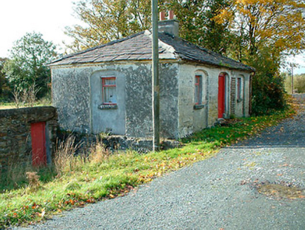 38th LockLock keeper's house · 2.0 mi
Explorer Tom The 38th Lock keeper's house in Castlegaddery has a favourite song that’s just the sound of water sloshing past its recessed arches, which it claims is better than any pop hit. It’s a charming little structure that looks like a gate lodge but never had to let anyone through. Tap on the wall if you hear the lock clack; it’s probably dreaming.
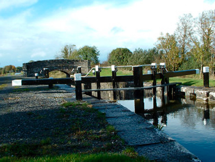 37th LockLock · 2.0 mi
Explorer Tom Thirty-Seventh Lock in Castlegaddery is a stone giant pretending to be a water feature for the Royal Canal Company's ego trip. I heard they nearly sold it for a horse before realizing the masonry was worth more than the equine. Have a wander past it!
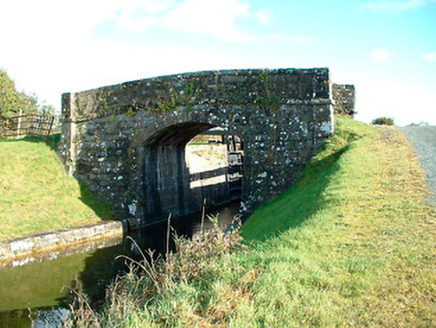 bridge2.0 mi
Explorer Tom Bridge in Castlegaddery would order a chipper with extra gravy because it thinks it’s fancy, despite being made of stone. It’s got that Royal Canal elegance, which basically means it looks good even when it’s just standing there doing nothing. Ask the canal if it’s lonely for you.
 Sessile Oak3.3 mi
Explorer Tom Sessile Oak in County Westmeath is standing there looking distinctly smug, probably judging your life choices from its high branch. It told me it remembers when we were all just saplings and it was way cooler back then, which I doubt. Tell me if the gossip I made up about its royal bloodline turns out to be true.
 Common Lime4.0 mi
Explorer Tom Common Lime took about forty-seven cups of tea to build, according to my totally reliable sources. It stands there looking like it hasn't slept since 1800. Snap one photo, then put the phone away and actually look.
 Abbeyshrule AbbeyRuins · 4.0 mi
Explorer Tom Abbeyshrule Abbey in Longford was nearly sold off as a very expensive horse stable back in the day, thank god. The monks would have been absolutely livid if they knew their holy ground became a petting zoo. Best visited with a curious kid who asks 'why?' about everything and no strict timetable.
 Bawn in CastlereaBawn · 11 mi
Explorer Tom Bawn in Castlerea is surrounded by a drainage ditch that looks like someone gave up halfway. There is a curse that only affects people who don't wave at it as they pass. It's free, it's odd, what more do you want?
More archaeology and monuments in County Westmeath · All of County Westmeath

What do you know about this place?Tap to add a comment or ask a question