What is recorded here
Situated on a slight natural rise, in gently undulating, wet pasture with good views in all directions. Depicted on the 1837 ed. OS 6-inch map as an oval-shaped area (dims. 17m E-W; 14m N-S) defined by a scarp. Remains consist of a roughly circular-shaped mound defined by a low bank of earth & stone from NE-W and incorporating some rock outcrop at NNW. The top of the mound (dims. 8m E-W; 7.5m N-S) is slightly concave with a gentle N-facing slope and is occupied by thorn trees. Field clearance stones have been deposited on the sides of the mound and within the interior. A possible barrow (WM017-020----) lies c. 37m to E.
Compiled by: Alison McQueen, Vera Rahilly and Caimin O’Brien
Date of upload: 28 November 2018
The monument record does not grant public access. Check the route and ask the landowner before entering private land.
- What survives
- Recorded monument
Places near here
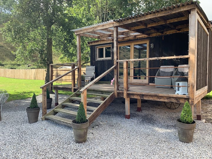 Hut site in BigfurzeHut site · 483 yd
 Partially hachuredFairy fort / earthen ringfort · 927 yd
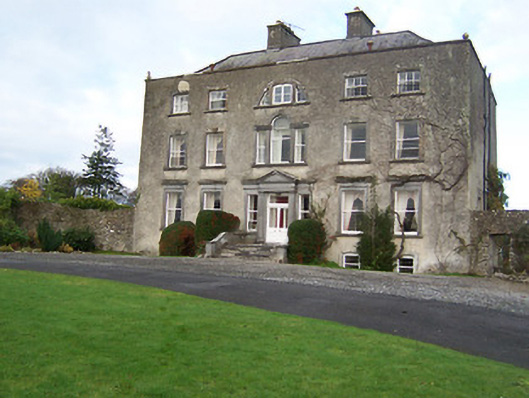 Mearscourt Housecountry house · 1067 yd
 Rathcastle Househouse · 1198 yd
 Site of CastleCastle, unclassified · 1667 yd
 Milltown Castle in ruinsCastle, unclassified · 1.5 mi
 Ancient Ring FortWood · 2.0 mi
 Sessile OakSessile Oak · 3.3 mi
 Abbeyshrule AbbeyRuins · 4.0 mi
 Craft WorkshopHeritage attraction · 5.5 mi
 Guest ServicesVisitor information · 5.5 mi
 Noughaval CemeteryArchaeological place · 8.7 mi