What is recorded here
Situated on a slight knoll, in low lying pasture, overlooking a stream c. 85m to W. Ringfort (WM017-021----) interior rises steadily from the perimeter to the centre where the remains of a rectangular hut site (dims. 6m N-S x 5m E-W) are visible. The foundations of the hut site are defined by some bumps and hollows in the ground on N side and by a low earthen bank on S. There are also some boulders and loose stones on the site. A forestry plantation is located c. 55m to E.
Compiled by: Alison McQueen
Date of upload: 23 November 2018
The monument record does not grant public access. Check the route and ask the landowner before entering private land.
- What survives
- Recorded monument
Places near here
 Partially hachuredFairy fort / earthen ringfort · 445 yd
 Rathcastle Househouse · 1178 yd
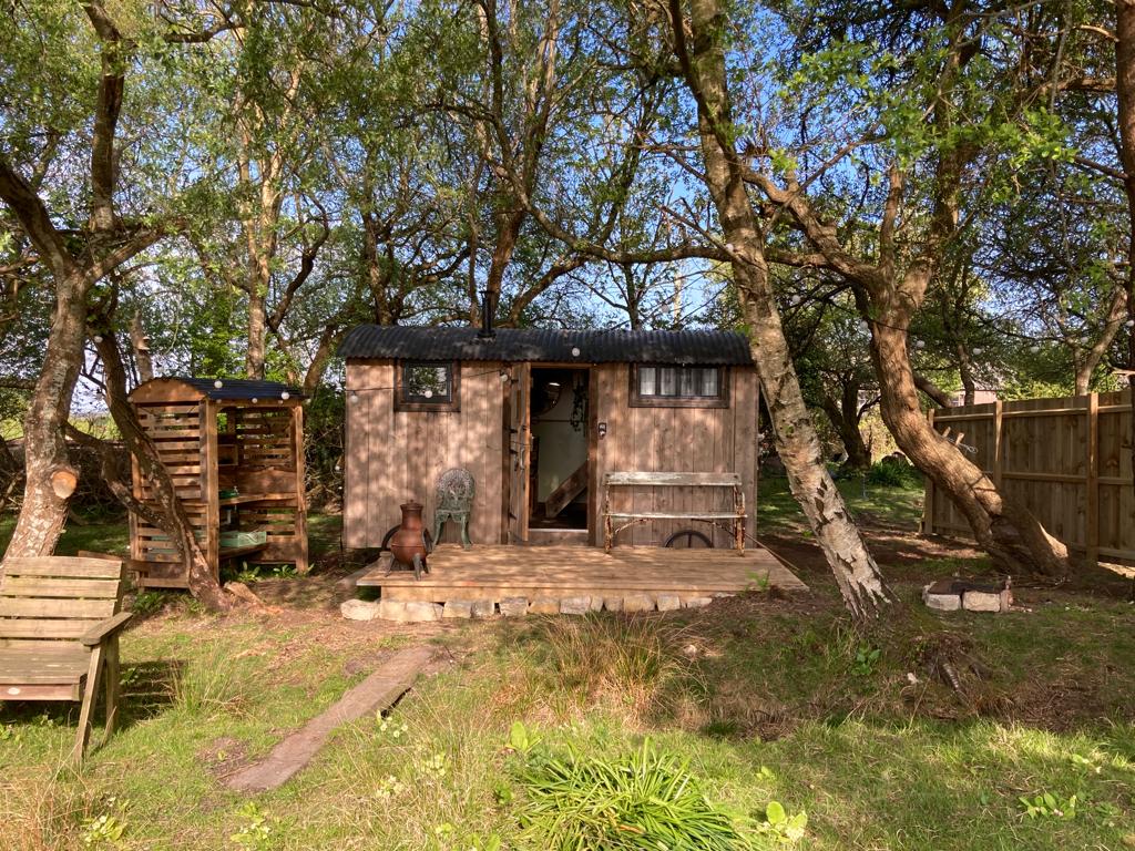 Hut site in CorkanHut site · 1217 yd
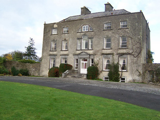 Mearscourt Housecountry house · 1469 yd
 Site of CastleCastle, unclassified · 1.2 mi
 Milltown Castle in ruinsCastle, unclassified · 1.3 mi
 Ancient Ring FortWood · 1.8 mi
 Sessile OakSessile Oak · 3.5 mi
 Abbeyshrule AbbeyRuins · 4.2 mi
 Craft WorkshopHeritage attraction · 5.7 mi
 Guest ServicesVisitor information · 5.8 mi
 Noughaval CemeteryArchaeological place · 8.9 mi
Other information
Photo: Credit not shown in the picture search · Rights wording not checked; contact us if this picture should be removed