What is recorded here
Situated on low rise in low lying marshy pasture-land with good views in all directions, 50m S of a small stream. Barratogher House located 400m to W. Not depicted on the 1837 ed. OS 6-inch map, but depicted on the 1875 ed. as a circular grove of trees. A sub-circular area (diam. 22m N-S; 24m E-W) enclosed by a poorly preserved earthen bank, overgrown with trees and bushes, best preserved from E-S-W, and narrow shallow fosse. A gap at NW (Wth 3.5m) may represent an entrance. The interior rises towards the centre, is partly overgrown with scrub and conifers and contains dumps of field clearance stones. The presence of tree stumps suggest that this is the remains of a tree ring, or perhaps a ringfort re-used as a tree ring. Not depicted as an antiquity on any ed. OS map.
Compiled by: Frank Coyne & Caimin O'Brien
Date of upload: 30 January 2017
The monument record does not grant public access. Check the route and ask the landowner before entering private land.
- What survives
- Recorded monument
Places near here
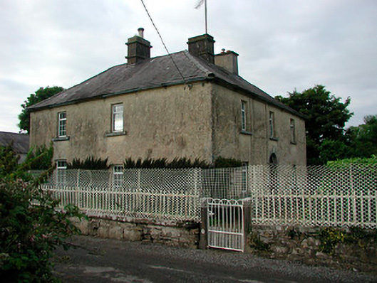 Barratogher Househouse · 470 yd
 Church (in Ruins)Church · 1278 yd
 Ecclesiastical enclosure in RussaghEcclesiastical enclosure · 1295 yd
 CastleCastle, motte · 1386 yd
 Partially indicatedFairy fort / earthen ringfort · 1601 yd
 MoatCastle, motte and bailey · 1.5 mi
 Silver FirSilver Fir · 2.5 mi
 Sweet ChestnutSweet Chestnut · 3.0 mi
 Bridge Memorial (Kenna)Memorial · 4.5 mi
 Edgeworthstown BypassMemorial · 5.5 mi
 Granard MotteMotte-and-bailey castle remains · 8.0 mi
 1798 Monumentmonument · 8.1 mi