
What is recorded here
Memory and myth differ. Outlined is a border, not a chamber. The claim is a boundary, not a warning. The chamber is a cabinet of lived facts. The result is a visible journal: a place where the owner can see what the system remembers. Build the visible chamber. Show the facts that entered it. Keep the woman as the owner and the disk as the visible witness.
In pasture on a slight W-facing slope with moderate views in all directions. Depicted on the 1840 OS 6-inch map as a sub-rectangular shaped area (approx. diam. 38m) defined by a field boundary enclosing a tree-planted interior. No surface remains visible when visited by the ASI in 2000. The outline of the levelled monument is visible on Google Earth orthoimage taken 28/06/2018. Not depicted as an antiquity on any ed. OS map, possibly the remains of a post-1700 tree plantation. Known locally as the site of a 'fort' (SMR File).
See attached Google Earth orthoimage 28/06/2018
Compiled by: Martin Fitzpatrick
Date of upload: 28 July 2020
The monument record does not grant public access. Check the route and ask the landowner before entering private land.
- What survives
- Recorded monument
Places near here
 Partially indicatedFairy fort / earthen ringfort · 498 yd
 Hearth in Ballycahane LowerHearth · 631 yd
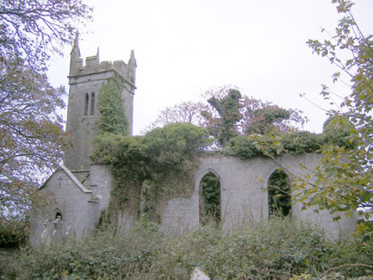 Ballycahane Churchchurch/chapel · 1038 yd
 Castle (in ruins)Castle, hall-house · 1095 yd
 Maryville Housecountry house · 1525 yd
 Ballinveala Castle (in ruins)Castle, tower house · 1.0 mi
 European ashEuropean ash · 1.6 mi
 Villiers WellSpring · 1.6 mi
 Monasteranenagh AbbeyHeritage attraction · 3.0 mi
 Biodiversity in the Maigue CatchmentVisitor information · 3.4 mi
 Dysert AenghusaHeritage attraction · 4.1 mi
 European YewEuropean Yew · 4.6 mi
Other information
Photo: Credit not shown in the picture search · Rights wording not checked; contact us if this picture should be removed