
What is recorded here
Situated atop natual rise of ground in undulating countryside with limited views. Field inspection c.1995 established that there are no surface remains visible. Described by Wheeler (1965) as an old farmhouse which is depicted on OS 6-inch map with remains of enclosure of farmyard to rear of house. Area was cleared in land projects work in 1965 as site was deemed to be of no archaeological value. On the 1st ed. map the site is depicted as an area of trees and scrub within an irregular enclosure. The 2nd (1903) ed. depicts a roughly circular enclosure with a field boundary running NW-SE along the edge of the E quad.
The above description is derived from 'The Archaeological Inventory of County Tipperary. Vol. 1 - North Tipperary' compiled by Jean Farrelly and Caimin O'Brien (Dublin: Stationery Office, 2002). In certain instances the entries have been revised and updated in the light of recent research.
Date of upload/revision: 22 September 2008
A local fairy fort (ringfort/rath); wider significance not recorded.
The monument record does not grant public access. Check the route and ask the landowner before entering private land.
- What survives
- Recorded monument
Places near here
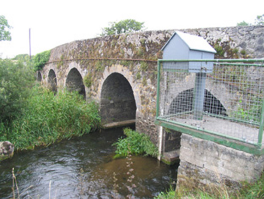 New Bridgebridge · 895 yd
 Toberdima (now dry)Holy well · 1.0 mi
 Dotted OutlineEcclesiastical enclosure · 1.1 mi
 Church (in ruins)Church · 1.1 mi
 Site of Pallas CastleCastle, unclassified · 1.2 mi
 Site of Feddaun CastleCastle, unclassified · 2.4 mi
 European BeechEuropean Beech · 3.0 mi
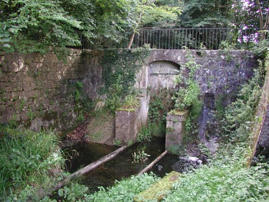 Birr Castlemachinery · 3.0 mi
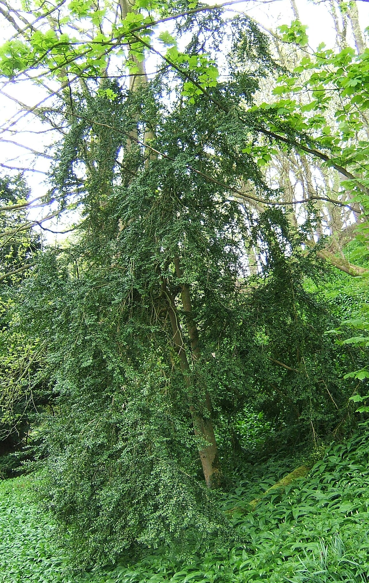 Common boxCommon box · 3.1 mi
 The Great Telescope 'Leviathan'Heritage attraction · 3.2 mi
 James Franklin FullerMemorial · 3.3 mi
 Waterfall PointViewpoint · 3.4 mi
Other information
Photo: Credit not shown in the picture search · Rights wording not checked; contact us if this picture should be removed