What is recorded here
On fairly level ground at base of a N-facing slope. According to the Civil Survey (1654-6) seven acres of land in Outeragh was owned by Theobald Butler 'on wch is a thatcht house & an Oarchard' (Simington 1931, vol.1, 236). The present townland house is depicted on the 1st (1840) ed. OS 6-inch map. It is a two storey, four-bay house, aligned N-S, facade facing E. Three brick chimney stacks, one at either gable and one centrally placed. New sawn timber roof covered with slates. House currently unoccupied but dry internally. House probably modified internally. Several of the doors, including an upstairs door at the top of the stairs leading to a corridor, are well defended with draw-bars and locks. There is a brick-lined wall oven in the E wall of the fireplace in the N gable. Features such as the wall-oven and corner fireplaces suggest a possible late 17th-century or early 18th-century date for this house.
Compiled by: Jean Farrelly
Date of upload: 26 August 2011
The monument record does not grant public access. Check the route and ask the landowner before entering private land.
- What survives
- Recorded monument
Places near here
 Enclosure in OuteraghEnclosure · 231 yd
 IndicatedEnclosure · 486 yd
 Outeragh Castle (in ruins)Castle, unclassified · 1203 yd
 Outeragh Church (in ruins)Church · 1414 yd
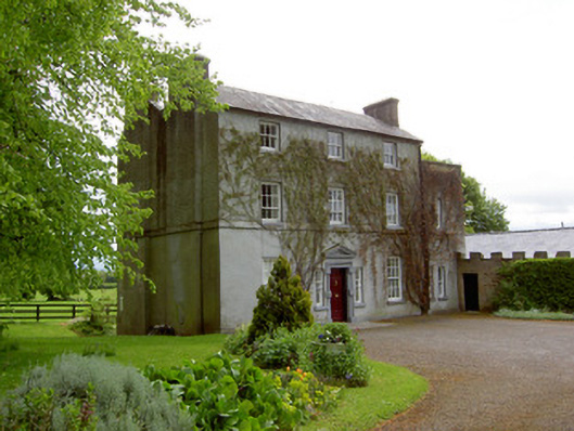 The Gleberectory/glebe/vicarage/curate's house · 1419 yd
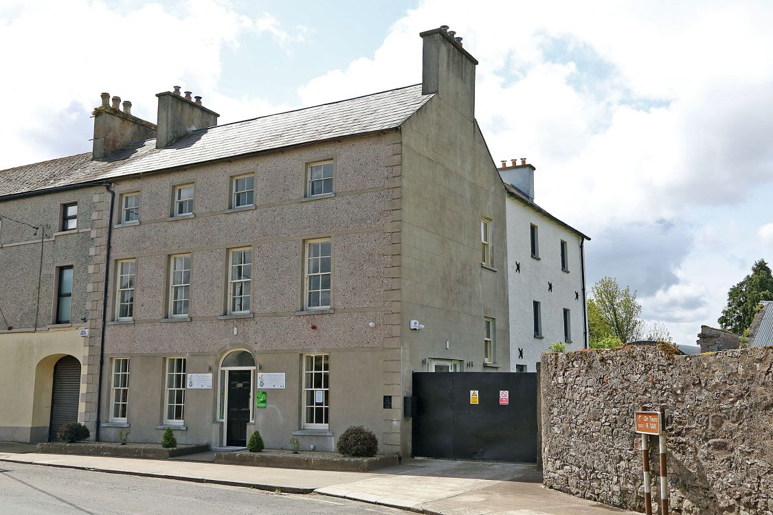 Woodinstown Ho.Castle, tower house · 1.2 mi
 Caher AbbeyHeritage attraction · 3.7 mi
 Siege of Cahir Castlesiege · 3.9 miCahir CastleHeritage attraction · 4.0 mi
 Caucasian zelkovaCaucasian zelkova · 4.7 mi
 Pedunculate OakPedunculate Oak · 4.8 mi
 Slieveanard NE TopMountain / peak · 5.3 mi