What is recorded here
In improved pasture, on an E-facing slope. Mill buildings called 'Old Mill' are depicted on the 1st (1840) ed. OS 6-inch map with the mill, aligned N-S, depicted on the E side of the mill pond and another building to the NE aligned E-W. The mill pond consists of an oval area (dims. 48m E-W; 28m N-S) cut into hillslope on W-half and raised on E-half to create a level interior. Interior defined by face of cutting (scarp Wth 7.9m; D 2.95m) SW-NW and by bank (overall Wth 6.4m; Wth at top 1.0m; int. H 0.6m; ext. H 0.9m) NW-N and ESE-SW where it is best preserved. Bank (overall Wth 13.6m; Wth at top 3m; int. H 1.55m; ext. H 3.9m) has a counter scarp and is very steep on exterior N-ESE, where it has been raised highest to compensate for hillslope. Fosse (overall Wth 4.6m; basal Wth 2.2m; D 1.1m) E-SW appears to have been re-cut and terminates at large bank of earth at SW. Outer bank (overall Wth 4.45m; Wth at top 0.4m; int. H 1.6m; ext. H 0.5m) E-SW. A gap (Wth 3.5m) in inner bank at S may be later. Interior is sunken, level and poorly drained; Gap (Wth 2m) at E allows water drain to exterior. Causeway (Wth 6m) at NW allows access into a roughly triangular area (dims. 18m N-S; 14m E-W across centre) defined by bank (overall Wth 4.8m; Wth at top 2.2m; int. H 0.55m; ext. max. H 1.25m) to W (L 18m) and short return to E, on S-side (total L 16m). Bank (overall Wth 14.6m; Wth at top 5.1m; int. H 0.4m; ext. H 1.8m) defines eastern side (L 26m). Fosse (overall Wth 5.15m; basal Wth 2.6m; D 1.35m) along W-side. Causewayed entrance (Wth 6m) at S, providing access to mill pond. Interior is flat bottomed (basal Wth 8m) and poorly drained.
Compiled by: Jean Farrelly
Date of upload: 26 August 2011
The monument record does not grant public access. Check the route and ask the landowner before entering private land.
- What survives
- Recorded monument
Places near here
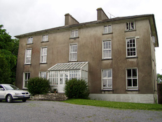 Silverfort Housecountry house · 224 yd
 Enclosure in SilverfortEnclosure · 314 yd
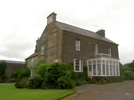 Beechmount Househouse · 375 yd
 MonumentArchaeological place · 724 yd
 CastleCastle, ringwork · 1506 yd
 The GarrisonCastle, tower house · 1.8 mi
 Taylor's WoodWood · 1.8 mi
 Noan WoodWood · 2.0 mi
 Ballinure HillMountain / peak · 2.3 mi
 Kilknockan HillMountain / peak · 4.5 mi
 Gobban Saer's GraveArchaeological place · 4.8 mi
 East GateMemorial · 5.3 mi