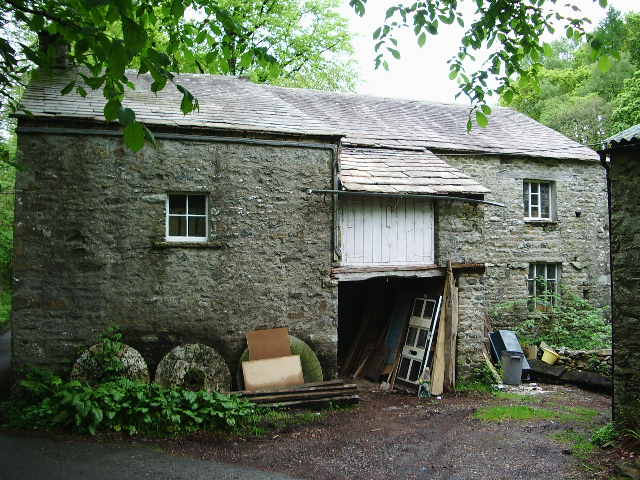
What is recorded here
Situated in the valley of the S-N Dawn River. In 1700 John Otterington leased 'the grist mill of Killmeadane' to Stephen Worthevale. This is likely to have been a medieval mill, and of the three mills shown on the 1840 ed. of the OS 6-inch map, it is likely to have been that marked 'Old Mill'. It is not visible at ground level. (Bradley et al. 1989, 55)
Compiled by: Michael Moore
Date of Upload: 3 November 2010
The monument record does not grant public access. Check the route and ask the landowner before entering private land.
- What survives
- Recorded monument
Places near here
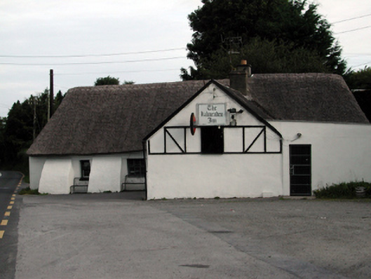 The Kilmeadan Innhouse · 146 yd
 Settlement desertedSettlement deserted, medieval · 165 yd
 Waterford & Suir Valley RailwayHeritage attraction · 284 yd
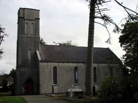 Saint Mary's Church (Kilmeadan)church/chapel · 305 yd
 Site of ChurchChurch · 312 yd
 CastleCastle, unclassified · 1267 yd
 Sargent's magnoliaSargent's magnolia · 1625 yd
 Sweet micheliaSweet michelia · 1.2 mi
 Mount Congreve GardensHeritage attraction · 1.6 mi
 Site of CastleCastle, unclassified · 1.6 mi
 Donnell's HillMountain / peak · 3.8 mi
 Tower HillMountain / peak · 6.5 mi
Other information
Photo: Credit not shown in the picture search · Rights wording not checked; contact us if this picture should be removed