
What is recorded here
Situated on flat pasture 190m E of the shoreline Lough Derg with Castletown fortified house (TN019-001001-) 140m to NW and Castletown Church (TN019-002001-) 70m to W. A castle site 9TN019-004----) lies 160m to SSE. Only the circular millstone (diam. 0.52m; T 0.32m) of the water mill survives in the front garden of a modern bungalow beside the disused millrace. Annotated 'Old Mill' on the 1840 ed. of the OS 6-inch map where it is shown as a rectangular-shaped building to the E of Castletown graveyard. The mill is depicted on the 1654-56 Civil Survey parish map of Castletowne (NLI, Ms 721). The 1654-56 Civil Survey recorded that in this townland stood the ‘Castle of Castletowne (TN019-004----) sctiated close by the Shannon together with a barbicon & a Slate house (TN019-001001-) as alsoe a Garden & an Orchard a watermill (TN019-003----) and eight thatch tennem[en]ts, there also standeth the Parish Church of Castletowne (TN019-002001-)’ (Simington 1934 vol. 2, 153).
The above description is derived from 'The Archaeological Inventory of County Tipperary. Vol. 1 - North Tipperary' compiled by Jean Farrelly and Caimin O'Brien (Dublin: Stationery Office, 2002). In certain instances the entries have been revised and updated in the light of recent research.
Compiled by: Jean Farrelly and Caimin O'Brien
Revised by: Caimin O'Brien
Date of revised upload: 21 February 2020
The monument record does not grant public access. Check the route and ask the landowner before entering private land.
- What survives
- Recorded monument
Places near here
 Church (in Ruins), Grave Yd.Church · 93 yd
 IndicatedCastle, unclassified · 177 yd
 Castle in ruinsCastle, unclassified · 199 yd
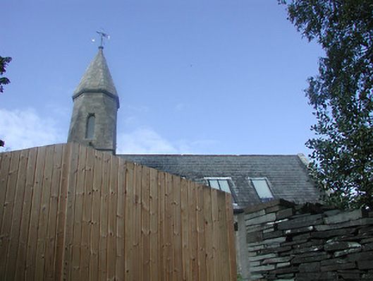 Castletown Church (Castletownarra)church/chapel · 1190 yd
 Enclosure in Ballywilliam (castletownarra Par.)Enclosure · 1389 yd
 Scilly IslandIslet · 1.1 mi
 Millenium CrossHeritage attraction · 1.3 mi
 Laghtea HillMountain / peak · 1.3 mi
 Patricks WellHoly well · 1.3 mi
 Saint Patrick's RockNamed rock · 1.4 mi
 Crow IslandIslet · 1.4 mi
 Aughinish WoodForest · 1.6 mi
Other information
Photo: Credit not shown in the picture search · Rights wording not checked; contact us if this picture should be removed