
What is recorded here
Situated in a hollow in marshy upland area. A natural spring well enclosed by a concrete surround which encloses a rectangular area (dims. 3m x 2.85m x 1m D). A stream flows out from the S face of the well which appears to be disused. There are no votive offerings visible.
The above description is derived from 'The Archaeological Inventory of County Tipperary. Vol. 1 - North Tipperary' compiled by Jean Farrelly and Caimin O'Brien (Dublin: Stationery Office, 2002). In certain instances the entries have been revised and updated in the light of recent research.
Date of upload/revision: 22 September 2008
Linked to Saint Patrick, the well is traditionally associated with healing and pilgrimage, reflecting the widespread veneration of the saint in early Christian Ireland. Local folklore may connect it to the spread of Christianity in the region, though specific traditions or cures tied to this site are not well documented.
The monument record does not grant public access. Check the route and ask the landowner before entering private land.
- What survives
- Recorded monument
Places near here
 KylenabausteeArchaeological place · 644 yd
 Saint Patrick's RockNamed rock · 849 yd
 Millenium CrossHeritage attraction · 1004 yd
 Laghtea HillMountain / peak · 1108 yd
 Hillfort in Cloneybrien,laghtea,townlough UpperHillfort · 1110 yd
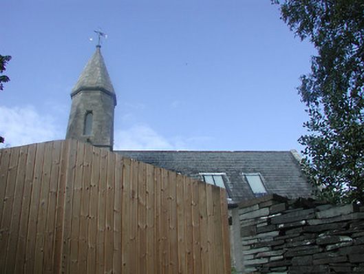 Castletown Church (Castletownarra)church/chapel · 1379 yd
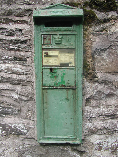 post boxpost box · 1388 yd
 Castle in ruinsCastle, unclassified · 1.2 mi
 Corbally HillMountain / peak · 1.3 mi
 IndicatedCastle, unclassified · 1.4 mi
 Giant's GraveArchaeological place · 1.7 mi
 Crow IslandIslet · 2.0 mi
Other information
Photo: Credit not shown in the picture search · Rights wording not checked; contact us if this picture should be removed