What is recorded here
Situated on a slight rise at the NW edge of the plateau of Inch Island. A large circular enclosure (ext. diam. c. 100m; int. diam. c. 80m) defined by a wide enclosing feature (Wth c. 10-15m) or two features is depicted on the 1835 edition of the OS 6-inch map where it is described as a 'Old Fort'. It is depicted as enclosed by a single field bank on the 1908 edition. It was described as a subcircular area (dims 32m x c. 26m) enclosed by an earthen bank and a fosse in 1942 (SMR file). The larger area was excluded from forestry established c. 2008 but the area is now overgrown (Google Earth).
Situated on a slight rise at the NW edge of the plateau of Inch Island. A large circular enclosure (ext. diam. c. 100m; int. diam. c. 80m) defined by a wide enclosing feature (Wth c. 10-15m) or two features is depicted on the 1835 edition of the OS 6-inch map where it is described as a 'Old Fort'. It is depicted as enclosed by a single field bank on the 1908 edition. It was described as a subcircular area (dims…
From the National Monuments Service (Archaeological Survey of Ireland) record CV019-036001
The monument record does not grant public access. Check the route and ask the landowner before entering private land.
- What survives
- Recorded monument
Places near here
Old FortArchaeological place · 9 ydInch IslandIslet · 312 yd Killykeen Forest ParkForest · 660 ydLough OughterLake and island landscape · 739 ydWoodenhouse BayBay · 754 ydCourt tomb in GartnanoulCourt tomb · 879 ydKillykeen CottageCottage ornee · 1152 ydDerries UpperMountain / peak · 1658 ydCastle HamiltonFarmyard complex · 1.3 miPedunculate Oak1.3 miClogh Oughter CastleCastle, Anglo-Norman masonry castle · 1.7 miPedunculate Oak2.0 mi
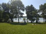 Killykeen Forest ParkForest · 660 yd
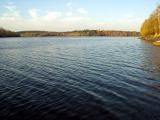 Lough OughterLake and island landscape · 739 ydWoodenhouse BayBay · 754 yd
 Court tomb in GartnanoulCourt tomb · 879 yd
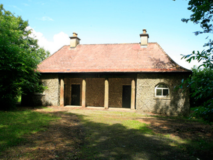 Killykeen CottageCottage ornee · 1152 ydDerries UpperMountain / peak · 1658 yd
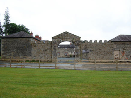 Castle HamiltonFarmyard complex · 1.3 mi
 Pedunculate Oak1.3 mi
 Clogh Oughter CastleCastle, Anglo-Norman masonry castle · 1.7 miPedunculate Oak2.0 mi
Pictures: NTF30, Wikimedia Commons · CC BY-SA 4.0; Sarah777 at English Wikipedia, Wikimedia Commons · Public domain; National Inventory of Architectural Heritage; Algirdas at Lithuanian Wikipedia, Wikimedia Commons · Public domain; Adam Simpson, Geograph · CC BY-SA 2.0
More archaeology and monuments in County Cavan · All of County Cavan
What do you know about this place?