What is recorded here
In woodland, on a gentle W-facing slope, c. 20m to N of estate track. Two rectangular ponds (long-axis c. E-W) with rounded corners. Southern pond (dims. 6m N-S; 22m E-W; D min. 0.6m) has inlet drain entering at SE and small rectangular indent at W-end, S-side. Larger pond (dims. 7m N-S; 31m E-W; D min. 1.1m) is c. 10m to N. Ponds linked by linear, U-shaped drain (long-axis c. N-S; L 10m; basal Wth 0.55m; overall Wth 2m; D 0.60m) toward E-ends, which probably regulates water levels between them. Water in both is stagnant and probable build up of organic debris from overhanging sally trees. Possibly an estate feature associated with Grove House (TS070-076) c. 235m to SW, though on the 1st (1840) ed. OS 6-inch map they are referred to as 'Old Fish Ponds'.
Compiled by: Jean Farrelly
Date of upload: 26 August 2011
The monument record does not grant public access. Check the route and ask the landowner before entering private land.
- What survives
- Recorded monument
Places near here
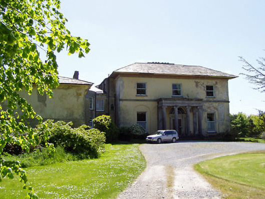 Grove Housecountry house · 366 yd
 IndicatedEnclosure · 905 yd
 Pedunculate OakPedunculate Oak · 1158 yd
 Coolmundry Church (in ruins)Church · 1169 yd
 ToberatubarHoly well · 1295 yd
 Grove WoodForest · 1.2 mi
 CastleCastle, Anglo-Norman masonry castle · 1.2 mi
 Cramp's CastleCastle · 1.3 mi
 East GateMemorial · 1.5 mi
 Kilknockan HillMountain / peak · 2.1 mi
 CarrigdotiaMountain / peak · 2.8 mi
 Enclosure in Strike LowerEnclosure · 1479 yd