What is recorded here
Old Fish Pond in Brooklodge, County Cork, disappeared when a new road cut through the land, leaving behind a name rather than water. It belonged to the household of an unclassified castle, supplying fish to kitchens that no longer stand. The pond may have fed lords, servants or neighbours, but the road hungered more and took the water without ceremony.
This pond is shown and named 'Old Fish Pond' on the 1842 OS 6-inch map in the townland of Brooklodge Upper (now known as Brooklodge townland). This fish-pond is referred to in the 'Archaeological Inventory of County Cork - vol. 2 East and South Cork' (1994, -209) under the entry (no. 5522) for an unclassified castle (CO064-055----). The fish-pond is mentioned as follows: 'Immediately to E, 1842 map shows site of 'old fish pond'; also probably destroyed when new road constructed…'.
The above description is derived from the published 'Archaeological Inventory of County Cork. Volume 2: East and South Cork' (Dublin: Stationery Office, 1994). In certain instances the entries have been revised and updated in the light of recent research.
Date of upload/revision: 14 January 2009
The monument record does not grant public access. Check the route and ask the landowner before entering private land.
- What survives
- Recorded monument
Places near here
 Old Court (Site of)Castle, unclassified · 200 yd
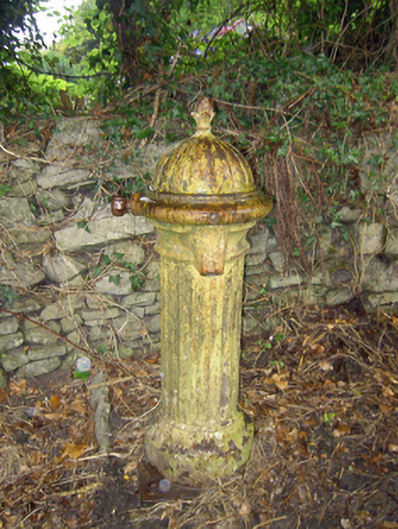 water pumpwater pump · 383 yd
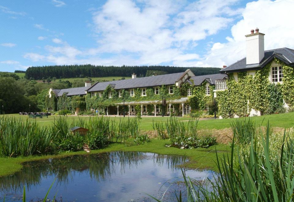 Brooklodge HouseCountry house · 721 yd
 Carberrytown WoodWood · 805 yd
 IndicatedDistillery · 1692 yd
 Grave YardGraveyard · 1.0 mi
 Sarsfields Court (in Ruins)Castle, unclassified · 2.0 mi
 Ashbourne ParkWood · 2.1 mi
 Gleeson MemorialMemorial · 2.2 mi
 Cork WalksVisitor information · 4.7 mi
 Lavitts QuayMemorial · 5.0 mi
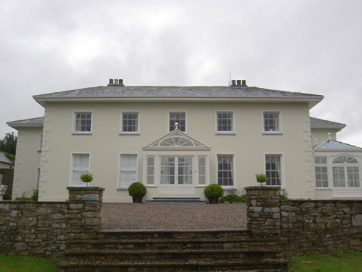 Brookvillecountry house · 949 yd