
What is recorded here
In pastureland and roughly centrally located on the W side of Kilreekill village. Named 'Old Chapel' on the 1838 edition of the OS 6-inch map and indicated as a roofed building aligned roughly E-W. It stood immediately to the S of a later 'R.C. Chapel' (GA098-137003-). On the 1933 edition of the map it is named 'Chapel (in Rns.) and only a short section of it S side-wall is depicted. It was separated from the later church by the boundary wall of the associated graveyard (GA098-137002-). It was dedicated to St Richella, possibly a sister of St Patrick or St Finnian (Gwynn and Hadcock 1970, 395). According to the OS Letters (O'Flanagan 1927a, Vol. 1, 482-3) the only surviving remnant of it that survived in 1838 was a wall (L c. 10m) 'apparently modern' in which there was 'a pointed archway constructed of rude stones and lime and sand mortar.' The arch was 'nearly 9 [c. 2.7m] feet high and 7 [2.1m] feet broad at the ground'. No visible surface trace of it survives. A number of graves now occupy this area of the graveyard. According to local information, the wall was knocked down years ago and the stone from it was used as building material.
Compiled by: Olive Alcock
Date of upload: 8 April 2020
The monument record does not grant public access. Check the route and ask the landowner before entering private land.
- What survives
- Recorded monument
Places near here
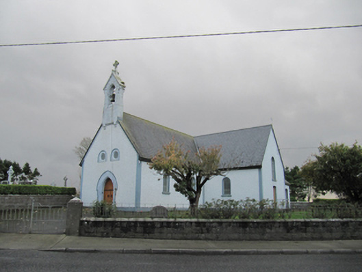 Catholic Church of Our Lady of Lourdeschurch/chapel · 16 yd
 CrossCross · 1532 yd
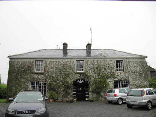 The Cottagehouse · 1620 yd
 Dartfield Horse MuseumHeritage attraction · 1.1 mi
 Drought Castle (in Ruins)Castle, tower house · 1.4 mi
 TobermacduaghHoly well · 1.4 mi
 Kilcooly Castle (in ruins)Castle, tower house · 2.3 mi
 Turoe StoneHeritage attraction · 4.7 mi
 Bush IslandIslet · 5.4 mi
 Middle IslandIslet · 5.4 mi
 Long PointHeadland · 5.5 mi
 Quarryhill WoodWood · 7.3 mi
Other information
Photo: Credit not shown in the picture search · Rights wording not checked; contact us if this picture should be removed