What is recorded here
In undulating pastureland. Marked on the 1838 and 1933 editions of the OS 6-inch maps as a subcircular terraced mound (c. 45m N-S; c. 38m E-W). According to local information, it was known locally as ‘Doon Hill’ and had ‘three rings’. It was extensively quarried out in the early 1980s. On inspection in April 1985 a series of banks and mounds were visible but it was not possible to determine whether these were part of the original monument or just upcast resulting from the quarrying. Current aerial imagery (Google 2019) suggests that the area has since been levelled but a change in vegetation colour indicates the area of the site.
Compiled by: Galway Archaeological Survey, UCG
Date of upload: 24 July 2019
The monument record does not grant public access. Check the route and ask the landowner before entering private land.
- What survives
- Recorded monument
Places near here
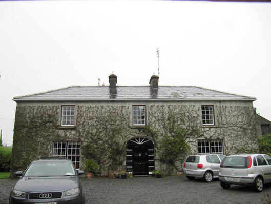 The Cottagehouse · 1369 yd
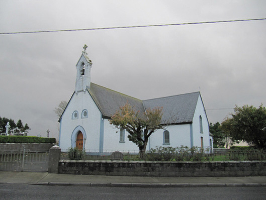 Catholic Church of Our Lady of Lourdeschurch/chapel · 1.1 mi
 TobergrellaunHoly well · 1.2 mi
 Man-made underground passage in Carra (loughrea By.)Man-made underground passage · 1.3 mi
 Dartfield Horse MuseumHeritage attraction · 1.5 mi
 Drought Castle (in Ruins)Castle, tower house · 1.6 mi
 Kilcooly Castle (in ruins)Castle, tower house · 3.2 mi
 Turoe StoneHeritage attraction · 3.9 mi
 Bush IslandIslet · 5.4 mi
 Middle IslandIslet · 5.4 mi
 Long PointHeadland · 5.7 mi
 Battle of AughrimMajor battlefield · 7.3 mi