What is recorded here
Situated on top of a hill on the floor of the WNW-ESE Glencar valley and close to its junction with the NW-SE Glenade valley. Manorhamilton castle and town are c. 2.5km to the ESE. Lurganboy had been established as a manor, probably at the time of the Plantation in the 1620s when it was owned by Thomas Abercrom (Mac an Ghalloglaigh 1966, 72 fn), but it belonged to James Wynne in the 1680s. A survey of c. 1683 describes ‘a good manor house, we a Bawn wherein the said James dwell’ (Logan 1971, 330). This might refer to this fort, although the fort seems to have played no part in the assaults on Manorhamilton during 1642-3, unless it was constructed by the Irish rebels (Mac an Gallóglaig 1966, 72-83). This is a grass-covered square area (int. dims 61.5m NE-SW; 61.5m NW-SE) with some mature deciduous trees defined by an earthen bank (ext. H 0.6m) with three surviving diamond-shaped corner bastions (dims 13m x 9.5m) defined by earthen banks (int. H 0.55m; max. ext. H 3m) built on a battered masonry plinth at the E, S and W angels. The N bastion has been levelled. There is a subrectangular area (dims 15m x 12m) defined by earth and stone banks in the interior. A small modern church and graveyard enclosed within a mortared stone wall is built in the area of the N bastion. Archaeological testing (99E0313) in the vicinity failed to reveal any associated features (Quinn 2002). Moore (Dublin: Stationery Office, 2003). In this instance the entrr has been revised and updated in the light of recent research. Revised by: Michael Moore, Paul Walsh
Date of revised upload: 25 January 2016
Situated on top of a hill on the floor of the WNW-ESE Glencar valley and close to its junction with the NW-SE Glenade valley. Manorhamilton castle and town are c. 2.5km to the ESE. Lurganboy had been established as a manor, probably at the time of the Plantation in the 1620s when it was owned by Thomas Abercrom (Mac an Ghalloglaigh 1966, 72 fn), but it belonged to James Wynne in the 1680s. A survey of c. 1683…
From the National Monuments Service (Archaeological Survey of Ireland) record LE007-064
The monument record does not grant public access. Check the route and ask the landowner before entering private land.
- What survives
- Recorded monument
Places near here
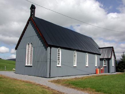 Lurganboy Church (Killasnet)Church/chapel · 29 ydNot indicatedEnclosure · 1.1 miAshisland WoodForest · 1.3 miLonghill WoodForest · 1.4 mi
 Manorhamilton CastleCastle · 1.5 mi
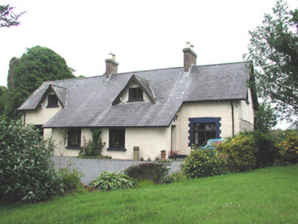 Manorhamilton CastleSteward's house · 1.5 miGiants RockNamed rock · 1.6 mi
 IndicatedBastioned fort · 1.8 mi
 BenboMountain / peak · 1.8 mi
 Saddle HillMountain / peak · 4.3 mi
 CastleCastle, tower house · 5.9 mi
 Parke's CastleHeritage attraction · 5.9 mi
Pictures: National Inventory of Architectural Heritage; Kenneth Allen, Wikimedia Commons · CC BY-SA 2.0; John M, Geograph · Creative Commons Attribution-ShareAlike 2.0; Richard Webb, Wikimedia Commons · CC BY-SA 2.0; Richard Webb, Geograph · CC BY-SA 2.0; John Darcy, Wikimedia Commons · CC BY-SA 2.0; Willie Duffin, Wikimedia Commons · CC BY-SA 2.0
More archaeology and monuments in County Leitrim · All of County Leitrim
What do you know about this place?