
What is recorded here
From OpenStreetMap (© OpenStreetMap contributors) w469676791
Places near here
Photo credits
- Joseph Mischyshyn, Wikimedia Commons · CC BY-SA 2.0
- Maker not stated on source page, www.pinterest.com
- National Inventory of Architectural Heritage
- Maker not stated on source page, www.bbc.com
- Maker not stated on source page, en.wikipedia.org
- Kmcnamee, Wikimedia Commons · CC BY-SA 4.0
- Maker not stated on source page, travelask.ru
- Joseph Mischyshyn, Geograph · CC BY-SA 2.0
- Maker not stated on source page, www.youtube.com
- Robert Bone, Wikimedia Commons
- Maker not stated on source page, ru.pinterest.com
 An tÍochtarIsland · 546 yd
Explorer Tom An tÍochtar is having a real go at the seagulls today. They’re screaming their heads off about the parking situation…
 Bottom beachBeach / strand · 740 yd
Explorer Tom Bottom beach in County Donegal got its name because the map makers were too tired to come up with anything more…
 beacon748 yd
Explorer Tom Beacon off Burtonport is a dramatic tapering round-plan navigational aid that’s been doing its job since 1982. It’s…
 Rinn RaithníIslet · 1160 yd
Explorer Tom Rinn Raithní has given up its own rock for Lent, which is pretty extreme considering how much it usually loves to show…
 Inis CúIsland · 1322 yd
Explorer Tom Inis Cú, or Inishcoo, is an island that is sick of being asked if it has any dogs on it. It’s got that 'I’m lonely but…
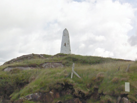 An Staca Mór [Stackamore]Beacon · 1.0 mi
Explorer Tom An Staca Mór [Stackamore] is a white stone navigation beacon near the channel to Arranmore. It may date from around…
 Gairmscoil McDiarmada, Arranmore GAAGAA ground · 1.0 mi
 Boathouse Beach BitesCafé · 1.1 mi
Explorer Tom Boathouse Beach Bites in County Donegal feeds seagulls that look smarter than any tourist. It was nearly sold off as a…
 EarlysPub · 1.1 mi
Explorer Tom Earlys in Moville hosted Daniel O'Donnell, so tell them Tom wanted to sing along even if it was truly off-key. Pick a…
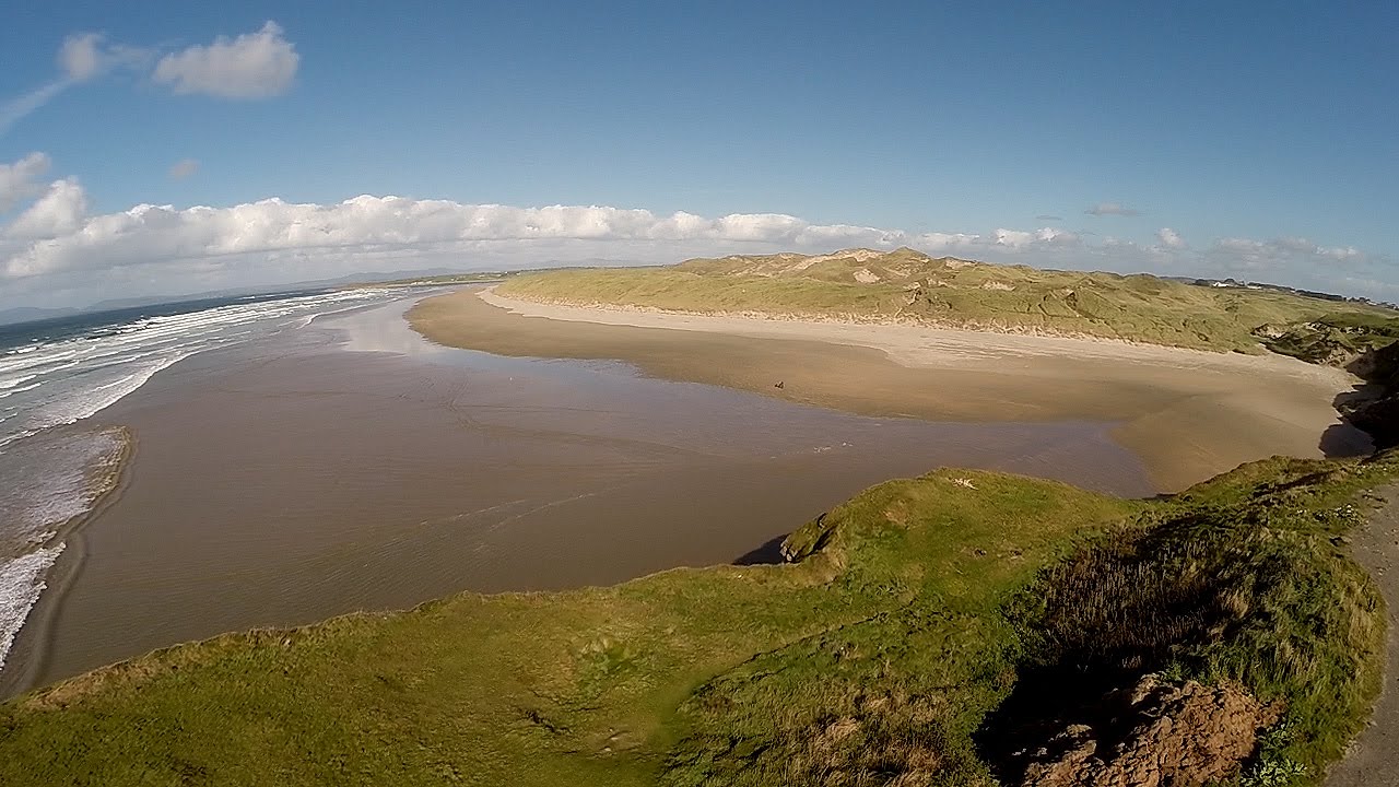 An Trá DheargBeach / strand · 1.1 mi
Explorer Tom An Trá Dhearg means Red Strand in Irish, which map makers probably thought was a nice touch until they realized how…
 Burtonport Loops - Lúb Cheann Bhaile CruaicheOfficial walking route · 1.5 mi
Explorer Tom Burtonport's Lúb Cheann Bhaile Cruaiche starts by the harbour and borrows an old railway line for a glorious Donegal…
 Mapped cemeteryCemetery · 1.7 mi
Explorer Tom Mapped cemetery complains to the council about how the grass is always too short on the left side because it likes…
More islands in County Donegal · All of County Donegal

What do you know about this place?Tap to add a comment or ask a question