
What is recorded here
Freestanding tapering round-plan navigation beacon c.9 metres high, built 1874-5, having lantern added 1982, having conical head. Now in use as lighthouse. Constructed of rock-faced coursed rubble stone (granite?) with metal ladder to south, and with wrought-iron guard ring around base of head. Originally whitewashed, now painted white with black band around middle. Single-bay single-storey lean-to hut built c.1980 against south face, having flat roof, cement rendered walls, and with square-headed metal door. Set on Carraigeacha an Bhealaigh [Ballagh Rocks].
This former navigation beacon, in use as a lighthouse since 1982, is a dramatic feature off Ailt an Chorráin [Burtonport] and was built to mark the northmost point of the navigation channel linking with Árainn Mhór [Aran Island]. It is well built using robust coursed squared rubble stone. It was originally whitewashed but since 1926 has had a black band around its centre. A beacon was first recommended by the Inspecting Committee of the Board of Trade in June 1867 after a Tour of Inspection. They ordered that a plan and estimate be prepared by the Inspector, Capt. E.F. Roberts and the Consultant Engineer, Mr C.P. Cotton. In May 1874 the Board sanctioned construction at an estimated cost of £450. This beacon/lighthouse serves as a monument to the skill and dedication of those involved in its construction and has provided a familiar and welcome sight to generations of mariners and fishermen operating along the west coast of Dún na nGall [County Donegal]. It is thus an integral part of the extensive maritime heritage of the county.
This does not grant access. Most recorded buildings are privately owned; view them only from public ground unless the owner allows entry.
Places near here
 An tÍochtarIsland · 1167 yd
 An Staca Mór [Stackamore]beacon · 1409 yd
 An t-Oileán LeathanIsland · 1604 yd
 Near beachBeach / strand · 1.1 mi
 Old CastleFortification · 1.1 mi
 Shipwreck beachBeach / strand · 1.1 mi
 Hook Point / Pointe an DuáinHeadland · 1.8 mi
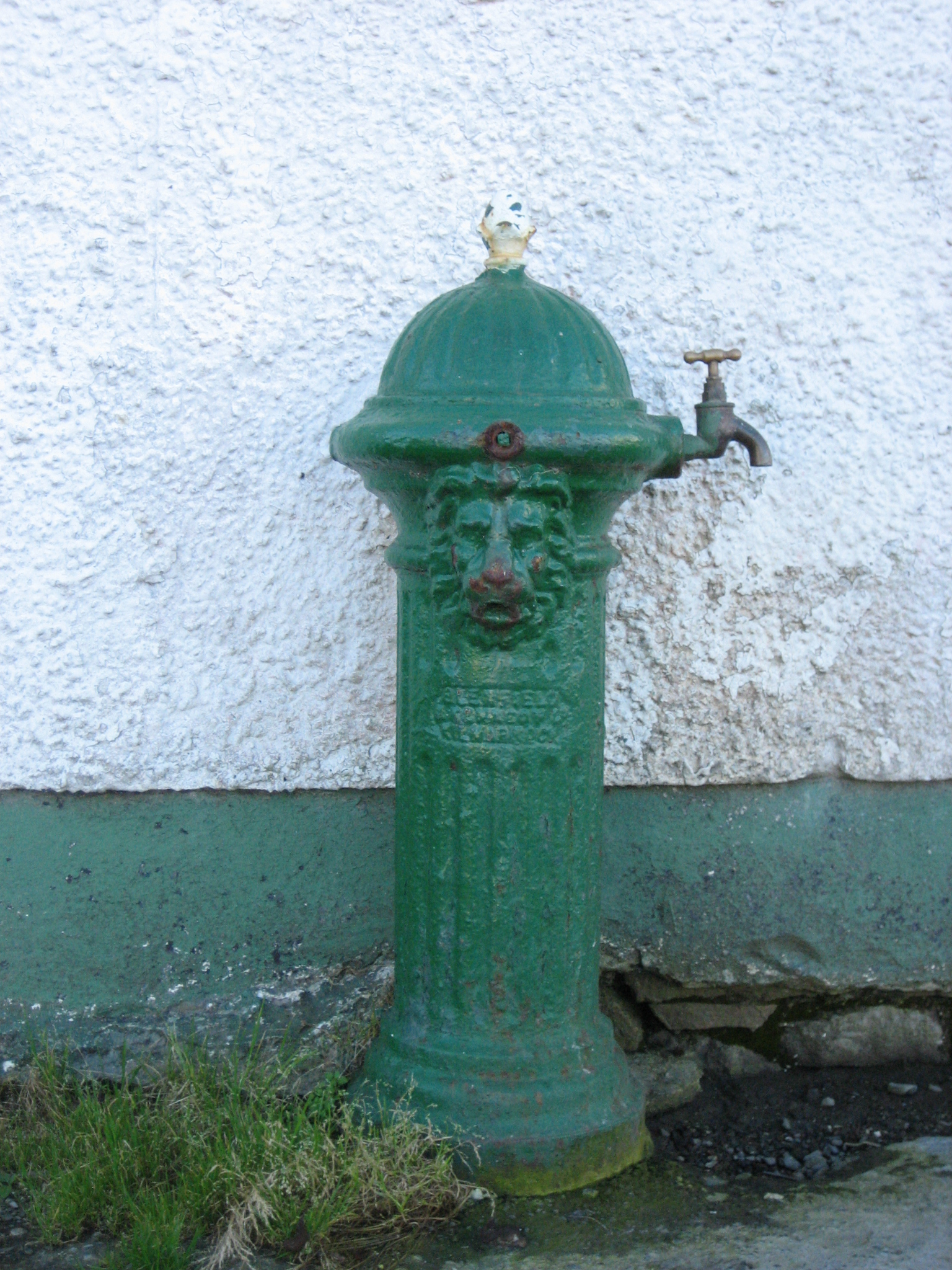 water pumpwater pump · 1.9 mi
 Promontory fortPromontory fort, coastal · 2.0 mi
 Tor an ÉidighHeadland · 2.9 mi
 CarrickfinnOfficial bathing water · 6.0 mi
 CroaghnamaddyMountain / peak · 6.3 mi
Other information
Photo: National Inventory of Architectural Heritage · Website use allowed for educational or private purposes with source credit