
What is recorded here
A triangular promontory 15m long × 17m along the landward side is defended by an earthen bank .8m high and an external flat-bottomed fosse 2.8m wide and up to 1.5m deep. Two stones in the fosse suggest that it may have been revetted. A causeway 1.8m wide and slightly SW of the mid point, crossed the fosse but there is no corresponding gap in the bank. A low bank .3m high runs around most of the edge of the interior of the promontory 2m to 3m from the edge of the cliff. It fades out on the W side. The area enclosed by this bank which is almost rectangular is 12 m E-W and 8m N-S. The site is located on a steep cliff edge on the S side of Aranmore Island.
The above description was derived from the 'Archaeological Survey of County Donegal. A description of the field antiquities of the County from the Mesolithic Period to the 17th century.' Compiled by: Brian Lacey with Eamon Cody, Claire Cotter, Judy Cuppage, Noel Dunne, Vincent Hurley, Celie O'Rahilly, Paul Walsh and Seán Ó Nualláin (Lifford: Donegal County Council, 1983). In certain instances the entries have been revised and updated.
Date of upload: 22 September 2008
The monument record does not grant public access. Check the route and ask the landowner before entering private land.
- What survives
- Recorded monument
Places near here
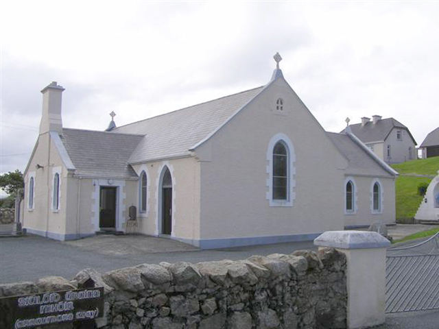 Teach Pobail Naomh Cróine [Saint Crone's Catholic Church]church/chapel · 241 yd
 Trá an ChaisilBeach / strand · 340 yd
 Holy well in Oileán CrónaHoly well · 1.4 mi
 An Staca Mór [Stackamore]beacon · 1.4 mi
 Hook Point / Pointe an DuáinHeadland · 1.4 mi
 An tÍochtarIsland · 1.7 mi
 Near beachBeach / strand · 1.8 mi
 Inis Mhic an DoirnIsland · 1.8 mi
 Cairn on Cnoc an IolairPublicly named cairn; age not proved by this picture · 1.9 mi
 Rinrawros Point / Rinn RamhroisHeadland · 3.8 mi
 CroaghnamaddyMountain / peak · 5.5 mi
 CarrickfinnOfficial bathing water · 7.8 mi
Other information
Photo: Credit not shown in the picture search · Rights wording not checked; contact us if this picture should be removed