What is recorded here
Half-buried in Tullig More when Hawkesworth pulled it from the earth in 1841, the irregular pillar still wears the bruises of violent treatment. Macalister read a blessing for Bishop Maqil in the surviving scores, yet McManus dismissed that cheerful interpretation as fanciful. The stone keeps its own counsel, preserving only enough of the old language to tease the living into argument.
Found in 1841 by Mr. E. Hawkesworth; removed to the collection of the Royal Cork Institution and now on permanent display in the Stone Corridor, University College Cork (see CO074-144----). Recorded by Power (1932, 22, no. 23) as a pillar (5ft x 1ft 6ins) with well cut, clear scorings but nevertheless difficult to make sense of. He read EGSAMVVA MAQI LASCOG[I]. According to Macalister (1945, 124, no. 127), the stone (5ft 2ins x 1ft 9ins x 1ft 6ins) is of '....extremely irregular shape owing to violent treatment', the only unbroken part being the surface between the two lines of writing. He gave the inscription as MAQILASPOG B TTMACDE and suggested that some letters may have been painted on the surface of the stone between the B and TT (there is room for 7 scores here) to make the word BENEDICATT. He then interpreted the inscription to mean 'May the Son of God bless Bishop "Maqil"'. McManus (2004, 20, no. 20) reads: MAQI LAS?OG, B/M[ ]TTM[ ]Cge and describes Macalister's interpretation as 'rather fanciful'. Macalister (1945, 126, no. 127) also noted that there had 'unquestionably' been an earlier inscription on the stone which had been completely destroyed and that the shape of the block now suggests that the bishop's inscription is on the original base. This inscription was partially buried when the stone was first discovered (ibid). (Power et al. 1997, no. 7990)
Compiled by: Nora White
Date of upload: 9 March 2016
The monument record does not grant public access. Check the route and ask the landowner before entering private land.
- What survives
- Recorded monument
Places near here
 IndicatedFairy fort / earthen ringfort · 818 yd
 Man-made underground passage in OldcastleMan-made underground passage · 872 yd
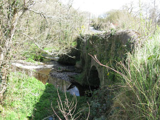 Luskin Bridgebridge · 1297 yd
 Oldcastle WoodWood · 1410 yd
 KilnKiln, lime · 1433 yd
 Carrignamuck Tower HouseCastle · 1.3 mi
 Saint Bartholomew's WellSpring · 2.6 mi
 Coachford Greenway (End)Visitor information · 3.4 mi
 Mullinhassig WoodWood · 3.5 mi
 Mullinhassig WaterfallWaterfall · 3.5 mi
 New TipperaryVisitor information · 3.6 mi
 Old Mansion HoCastle, Anglo-Norman masonry castle · 3.7 mi