What is recorded here
There is a local tradition that there was a stone with markings on it at a place known as the rock well. It was not regarded as a holy well, although it is marked but un-named on the 1925 ed. of the OS 6-inch map. It is situated in the boggy estuary of a small E-W stream, c. 100m ENE of Brandane church (WX045-047----). The area is densely overgrown and no evidence of an ogham stone was encountered, but its true location might not be known.
Compiled by: Michael Moore
Date of upload: 22 July, 2013
The monument record does not grant public access. Check the route and ask the landowner before entering private land.
- What survives
- Recorded monument
Places near here
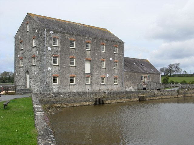 Tide millTide mill, unclassified · 625 yd
 Saint Brendan's Parochial Hallchurch hall/parish hall · 671 yd
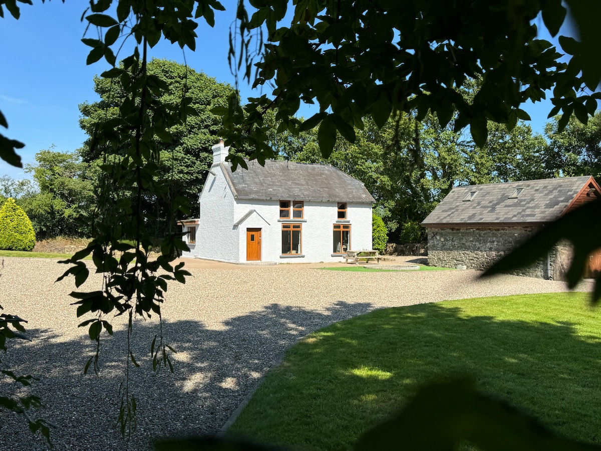 Ladys WellHoly well · 1203 yd
 Castle (in ruins)Castle, unclassified · 1272 yd
 Enclosure in Haggard (bargy By.)Enclosure · 1470 yd
 CastleCastle, motte · 1670 yd
 Bridges ChamberCave · 1.2 mi
 Blackhall StrandBeach / strand · 1.5 mi
 Saltmills Explosion MemorialMemorial · 1.8 mi
 Ballymadder PointHeadland · 1.9 mi
 Grange BeachBeach / strand · 2.0 mi
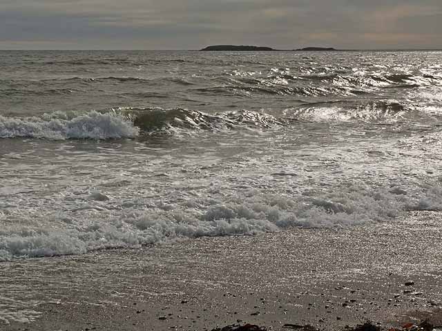 Keeragh IslandsIsland · 2.4 mi