What is recorded here
Named 'Kiltaghan' castle on Noble and Keenan's 1752 map of County Kildare, after the townland it was then in, and spelt 'Kyltaghan' castle on Taylor's 1783 map of the county. By 1838 it was named 'Offaly Castle' and was located in Mountprospect townland on the 1st ed. (1838) of the OS 6-inch map. Fitzgerald (1906-8, 159-60), commenting on the latter name says,' I can find no authority for it as it is called Kiltaghan Castle in the Rathangan Manor book of 1760, now at Carton'. At the N foot of a long, gentle pasture slope, immediately E of a possible late-medieval field system (KD017-020----), and c. 75m to the S of an unclassified building (KD017-035----). A low, roughly circular cairn of grassed-over, collapsed masonry (diam. 17m; H 0.8-1.6m) contains a short length of 'in situ' wall (L 6.2m; T 0.7m; H 1.8m) built of roughly coursed rubble masonry, with facing stones surviving at the W end. In 1986, traces of a barrel vault were noted (SMR file), but are no longer obviously visible. (CUCAP BDU 16, 17: 1970)
Compiled by: Gearóid Conroy
Date of upload: 10 June 2011
Named 'Kiltaghan' castle on Noble and Keenan's 1752 map of County Kildare, after the townland it was then in, and spelt 'Kyltaghan' castle on Taylor's 1783 map of the county. By 1838 it was named 'Offaly Castle' and was located in Mountprospect townland on the 1st ed. (1838) of the OS 6-inch map. Fitzgerald (1906-8, 159-60), commenting on the latter name says,' I can find no authority for it as it is called…
From the National Monuments Service (Archaeological Survey of Ireland) record KD017-021
The monument record does not grant public access. Check the route and ask the landowner before entering private land.
- What survives
- Recorded monument
Places near here
Photo credits
- National Inventory of Architectural Heritage
- Alex Passmore, Geograph · Creative Commons Attribution-ShareAlike 2.0
- Sitomon, Wikimedia Commons · CC BY-SA 2.0
- Zairon, Wikimedia Commons · CC BY 4.0
- 瑞丽江的河水, Wikimedia Commons · CC BY-SA 4.0
- Clemensfranz, Wikimedia Commons · CC BY 2.5
- Bernie, Wikimedia Commons · CC BY-SA 2.0
- Mike Searle, Wikimedia Commons · CC BY-SA 2.0
- Credit not shown, Wikimedia Commons · Creative Commons Attribution-ShareAlike 4.0
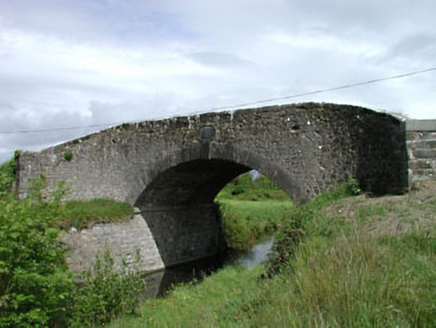 Wilson's BridgeBridge · 1203 yd
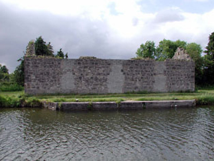 store/warehouse1273 yd
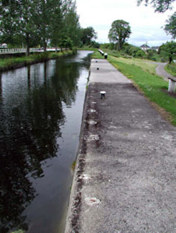 gates/railings/walls1279 yd
 Spencer BridgeBridge · 1326 yd
 European Yew5.2 mi
 Round Tower5.3 mi
 St. Brigids CathedralCathedral · 5.3 miEuropean Yew5.4 mi
 Irish National Stud and Japanese GardensHeritage attraction · 6.2 mi
 Japanese GardensHeritage attraction · 6.2 mi
 Lea Castle (in ruins)Castle, Anglo-Norman masonry castle · 6.7 mi
 IndicatedCastle, motte · 11 mi
More castles and forts in County Kildare · All of County Kildare
What do you know about this place?