What is recorded here
Known locally as 'O'Dempsey's Ring' this is a ring-barrow with low circular mound (diam. 7m) enclosed by inner fosse (Wth 2.5m) with external bank (Wth 2m) with evidence of stone kerbing in the construction of the bank. The overall diameter of the site measures 18m N-S. 1/1957).
From the National Monuments Service (Archaeological Survey of Ireland) record OF026-014
The monument record does not grant public access. Check the route and ask the landowner before entering private land.
- What survives
- Recorded monument
Places near here
O'Dempsey's RingArchaeological place · 13 ydODempseys Road (Site of)Road, unclassified togher · 366 yd Saint Mary's Catholic ChurchChurch/chapel · 919 ydfarm house1092 ydRaheen Castle in ruinsCastle, unclassified · 1162 ydRaheen Castle (site of)Archaeological place · 1204 ydThe Lord's WellSpring · 1.2 miFather BurbageMemorial · 1.9 miGeashill Glebe WalkVisitor information · 2.0 miGhaugher HillMountain / peak · 2.3 miFurzehill WoodWood · 2.5 miRath HillMountain / peak · 4.3 mi
 Saint Mary's Catholic ChurchChurch/chapel · 919 yd
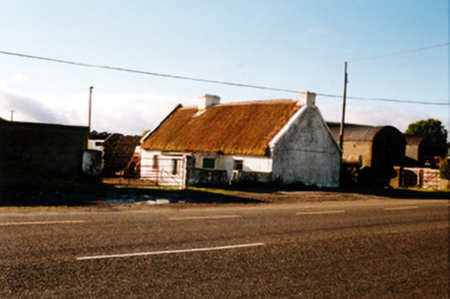 farm house1092 ydRaheen Castle in ruinsCastle, unclassified · 1162 ydRaheen Castle (site of)Archaeological place · 1204 ydThe Lord's WellSpring · 1.2 mi
 Father BurbageMemorial · 1.9 miGeashill Glebe WalkVisitor information · 2.0 miGhaugher HillMountain / peak · 2.3 miFurzehill WoodWood · 2.5 miRath HillMountain / peak · 4.3 mi
Pictures: Trenchspike, Wikimedia Commons · CC BY-SA 4.0; National Inventory of Architectural Heritage
More archaeology and monuments in County Offaly · All of County Offaly
What do you know about this place?