
What is recorded here
Raheen Castle stood on high ground above Raheen Lough, a small square fortress mapped in 1838 before human hands or time erased it. The site is now levelled, hiding its foundations beneath soil and forgetting. What remains is a ghost in stone, visible only when rain or memory breaks the surface.
Raheen Castle depicted as a small square-shaped building on the 1838 ed. OS 6-inch map standing immediately S of a laneway/roadway a few metres NNW of a farmyard. Location of castle site incorrectly depicted on revised editions of the OS 6-inch and 25-inch maps where the castle is shown located further to the W than on the 1838 ed. OS 6-inch map. Castle was situated on high ground overlooking Raheen Lough to the SW. Now levelled with just a few large stones showing through the surface which may be the remains of the foundations.
The above description is derived from the published 'Archaeological Inventory of County Offaly' (Dublin: Stationery Office, 1997). In certain instances the entries have been revised and updated in the light of recent research.
Compiled by: David Sweetman
Revised by: Caimin O'Brien
Date of revised upload: 23 June 2016
The monument record does not grant public access. Check the route and ask the landowner before entering private land.
- What survives
- Recorded monument
Places near here
 Raheen Castle (site of)Archaeological place · 53 yd
 Saint Mary's Catholic Churchchurch/chapel · 436 yd
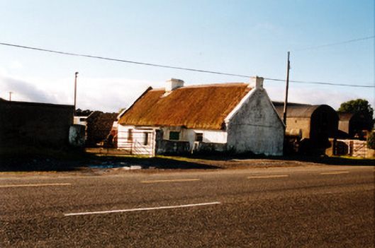 farm housefarm house · 523 yd
 ODempseys RingBarrow, ring-barrow · 1162 yd
 O'Dempsey's RingArchaeological place · 1168 yd
 Moat of DownCastle, motte and bailey · 1.1 mi
 Father BurbageMemorial · 1.7 mi
 Geashill Glebe WalkVisitor information · 1.7 mi
 The Lord's WellSpring · 1.9 mi
 Furzehill WoodWood · 2.1 mi
 Ghaugher HillMountain / peak · 2.4 mi
 Church (in Ruins), GraveyardChurch · 4.1 mi
Other information
Photo: Credit not shown in the picture search · Rights wording not checked; contact us if this picture should be removed