What is recorded here
In an area of wet, marshy terrain, with ground sloping generally to the E. On the E bank of a fairly dry stream, a side channel of the main stream which flows northward into the Owenbeg River. The area between the channel and main stream forms a small island. Erroneously indicated on the 6-inch OS map (1899-1902) as a 'Nunnery (in Ruins)'. The remains of a building, roughly aligned NW-SE, composed of roughly coursed limestone/shale rubble with a lime mortar with pebbles. The quoins at the NW angle are flat stones. The remains consist of a short length of upstanding W wall (L 2.2m; T 0.6-0.7m) with a return (L 0.7m) at the NW angle. A collapsed length of the W wall can be traced for a further c. 6.5m southward. The mill race (Wth 4m) is shallow on the E side and forms a steep bank on the W side.
Compiled by: Jean Farrelly
Date of upload: 30 May 2016
The monument record does not grant public access. Check the route and ask the landowner before entering private land.
- What survives
- Recorded monument
Places near here
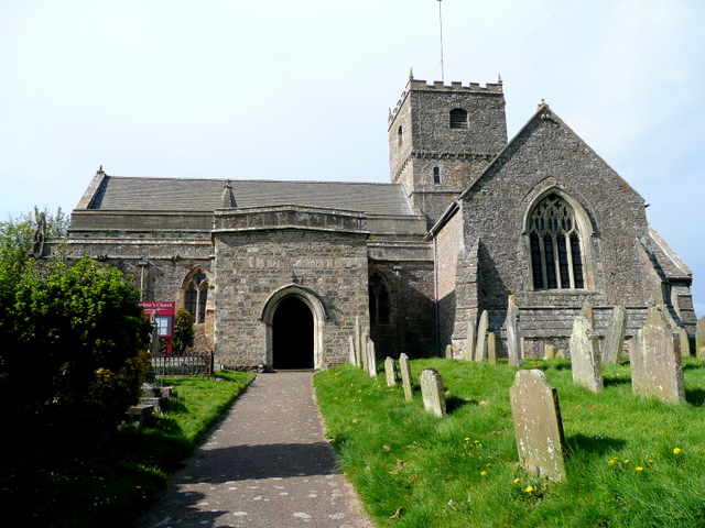 St. Chaddens Church (in ruins)Church · 99 yd
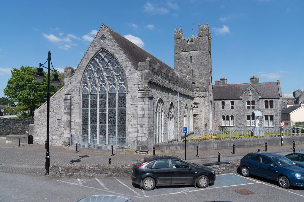 Abbey (in ruins)Religious house, unclassified · 320 yd
 Enclosure in CloghogeEnclosure · 1.1 mi
 Enclosure in Ironmills OR KilrushEnclosure · 1.1 mi
 (Site of) CastleCastle, unclassified · 1.2 mi
 1798 MonumentMemorial · 1.3 mi
 Common LimeCommon Lime · 1.5 mi
 AskuarWood · 1.6 mi
 Moat Castle in ruinsCastle, unclassified · 1.9 mi
 Heywood GardensHeritage attraction · 1.9 mi
 Graveyard in SraleaghGraveyard · 3.8 mi
 Anker's IslandIsland · 4.0 mi