What is recorded here
In flat wet pasture 190m W of the townland boundary with Grange and 290m N of a ring-barrow cemetery (LI031-176001/8- and LI031-177001/2-). The site is not depicted on OSi historic maps nor is it visible on either the OSi orthoimages taken 2005-12 or on the Digital Globe orthoimage taken 2011-2013. Discovered in 2005 during archaeological monitoring of the excavation of tree mounds and field drains in advance of afforestation (O’Mahony 2005, recorded at National Grid Ref: 161972/141713). Deposits of burnt heat shattered stone and dark black charcoal were uncovered immediately below a thin layer of sod (D. 0.03-0.04m, c. 55m OD). Field inspection identified a mound (10m N-S; 6m E-W; H 0.7m) with a slight depression at the centre, presumably the location of a fulacht fia trough. The site is located 3m E of a linear field drain. Further potential fulacht fia sites are located to the W of the drain and their location is indefinable as low field mounds with a similar physical morphology to the site identified during afforestation works. Once the site was identified the drains within an exclusion zone (dims. 55m N-S and 40m E-W) were backflled, this area remains unplanted and is visible on Google Earth orthoimage taken 05/04/2006; 28/06/2018 and 20/09/2020.
See attached Google Earth orthoimages and location map taken from O'Mahony 2005
Compiled by: Edmond O’Donovan
Date of upload: 28 October 2020
The monument record does not grant public access. Check the route and ask the landowner before entering private land.
- What survives
- Recorded monument
Places near here
 BarrowBarrow, ring-barrow · 326 yd
 Field system in KilcullaneField system · 645 yd
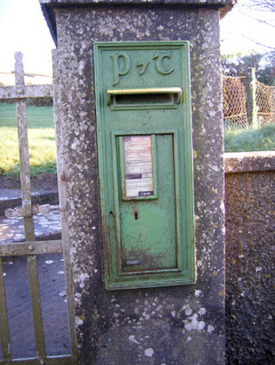 post boxpost box · 984 yd
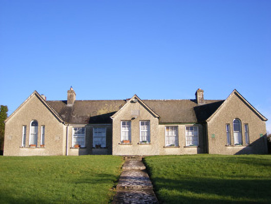 Grange National Schoolsschool · 1020 yd
 Bawn in Grange (smallcounty By.)Bawn · 1565 yd
 Lough GurVisitor information · 1.1 mi
 Grange Stone CircleArchaeological place · 1.1 mi
 Garret IslandCastle, unclassified · 1.3 mi
 The SpectaclesVisitor information · 1.7 mi
 Pedunculate OakPedunculate Oak · 1.7 mi
 Lough Gur Heritage CentreVisitor information · 1.7 mi
 Banoge's WellSpring · 1.8 mi