
What is recorded here
In the SW part of a rath (MA062-036----). Quarrying of the S portion of the rath has created a vertical section face (H 3.5m) at W close to a N−S field fence/townland boundary. Exposed in the section face at a depth of 0.65m below ground surface, is a horizontal stone slab or roof lintel, and directly below that, a…
Read the whole record
From the National Monuments Service (Archaeological Survey of Ireland) record MA062-036001
Places near here
Photo credits
- National Inventory of Architectural Heritage
- Pamela Norrington, Geograph · CC BY-SA 2.0
- Maker not stated on source page, www.pinterest.com
- Golfing in Ireland; photographer not stated, Source publisher
- Swinford GAA; the page thanks Michael Maye, Rita Campbell and Fiona McDonagh, without assigning the panoramic image to one maker, swinfordgaa.ie
- Maker not stated on source page, en.wikipedia.org
 bridge750 yd
Explorer Tom Bridge in Carrowbeg is part of the 'Burma Road,' which sounds like an adventure but was just a railway line. It’s got…
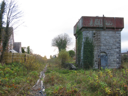 Swinford Railway StationBuilding misc · 924 yd
Explorer Tom Swinford Railway Station has a water tower that would describe the 1800s to a teenager as 'very slow but with better…
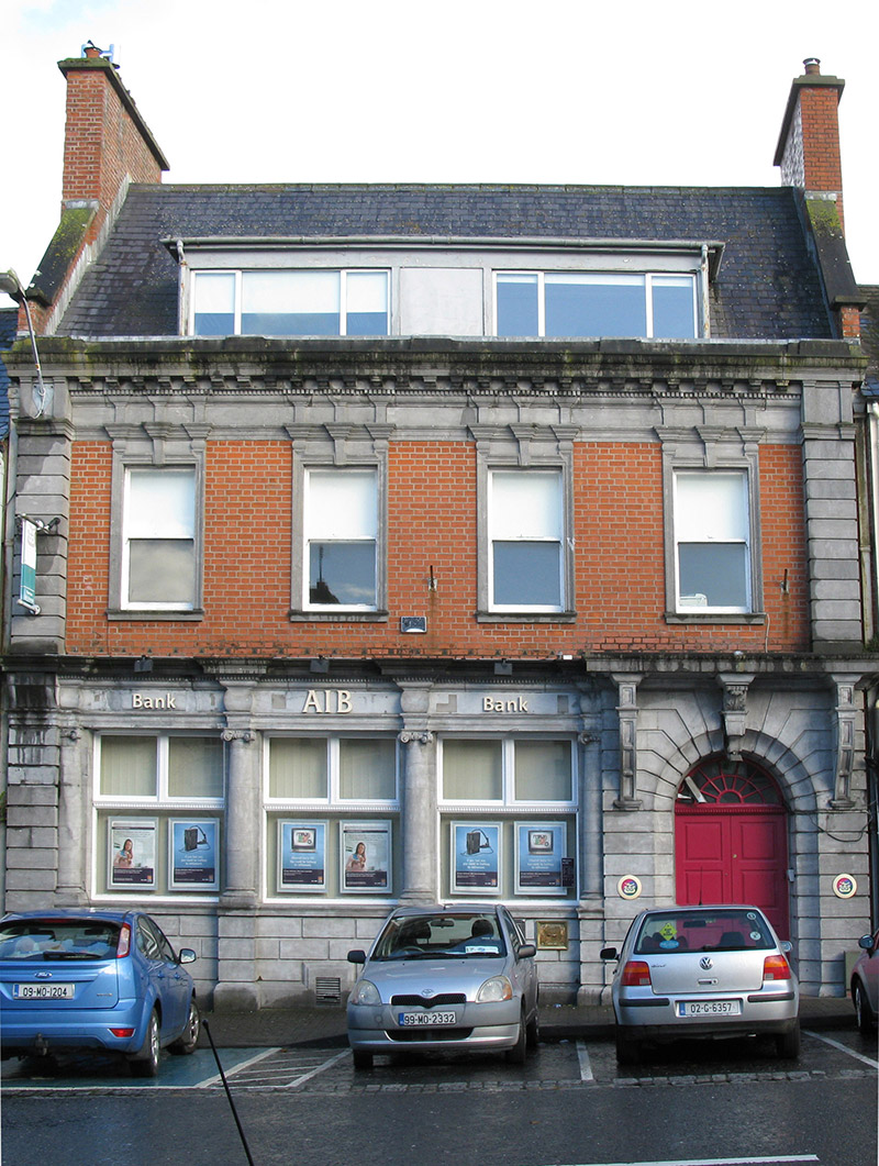 Allied Irish BankBank/financial institution · 940 yd
Explorer Tom Allied Irish Bank in Swineford is haunted by a ghost who is far too lazy to actually haunt the vaults. He just sits on…
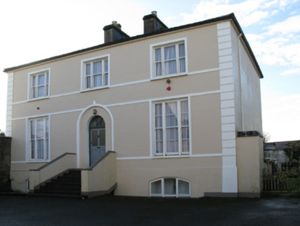 rectory/glebe/vicarage/curate's house946 yd
Explorer Tom Rectory in Swineford is showing off its fancy door, acting like it’s royalty when it’s just a vicar’s pad from 1819.…
 Bank of IrelandBank/financial institution · 957 yd
Explorer Tom Bank of Ireland in Swineford was built on a bargain that still smells like fresh money and regret. It looks like a…
 Kilconduff CemeteryGraveyard · 984 yd
Explorer Tom Kilconduff Cemetery in County Mayo would win the county fair without breaking a sweat because it has the best display…
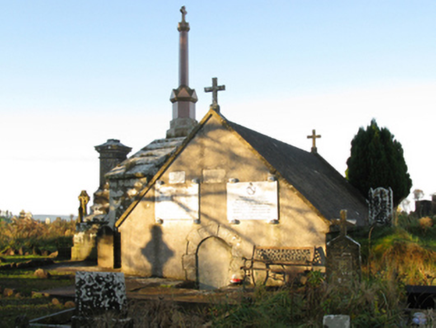 mausoleum1014 yd
Explorer Tom Mausoleum in Rathscanlan is where the Brabazons rest easy while the rabbits outside judge their stone choices. Sir…
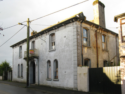 Swinford Town HallTown/county hall · 1091 yd
Explorer Tom Swinford Town Hall is falling apart at the seams, literally. It was designed back in 1909 to look like a bank, so it’s…
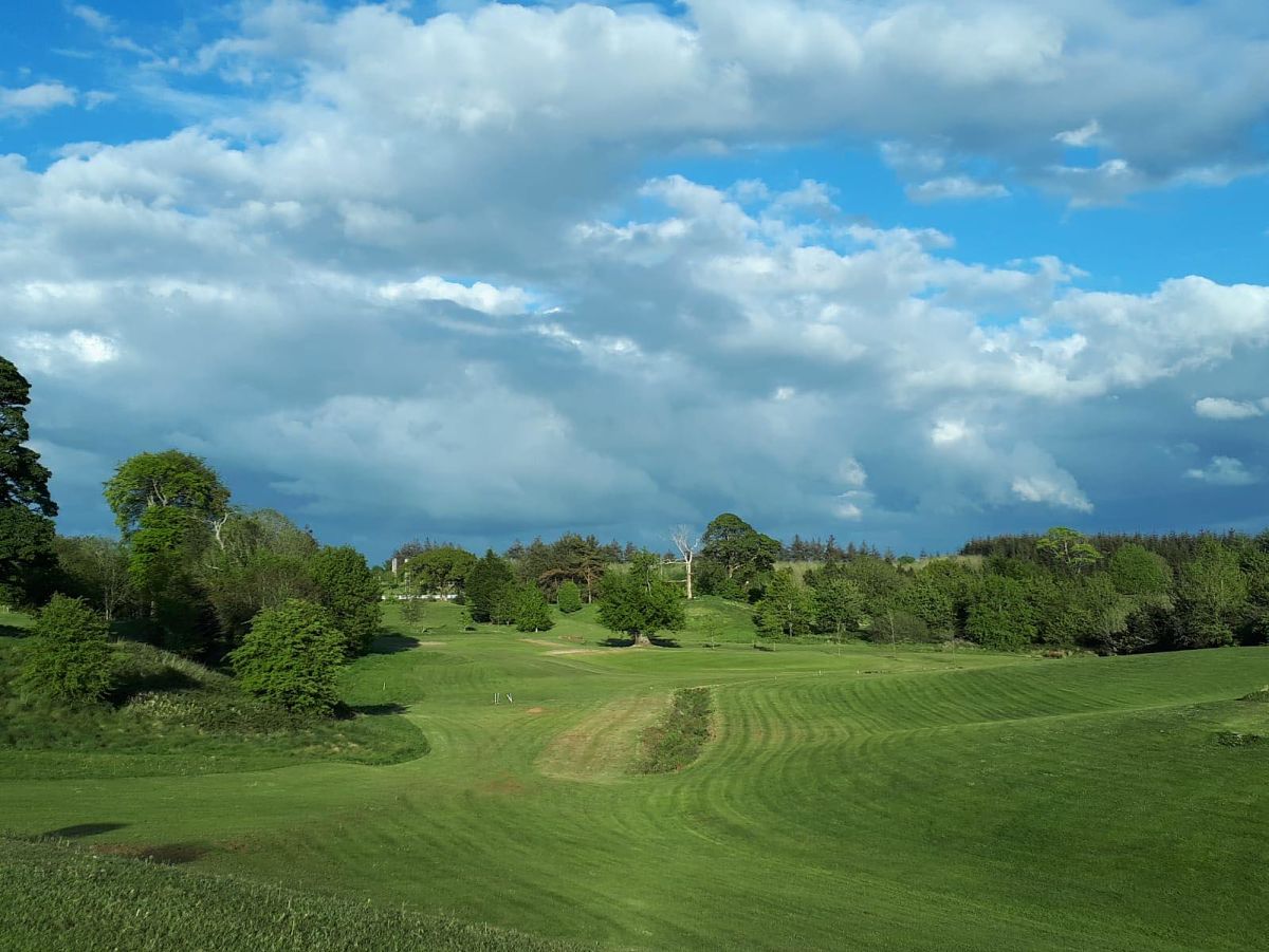 Swinford Golf ClubGolf course · 1.1 mi
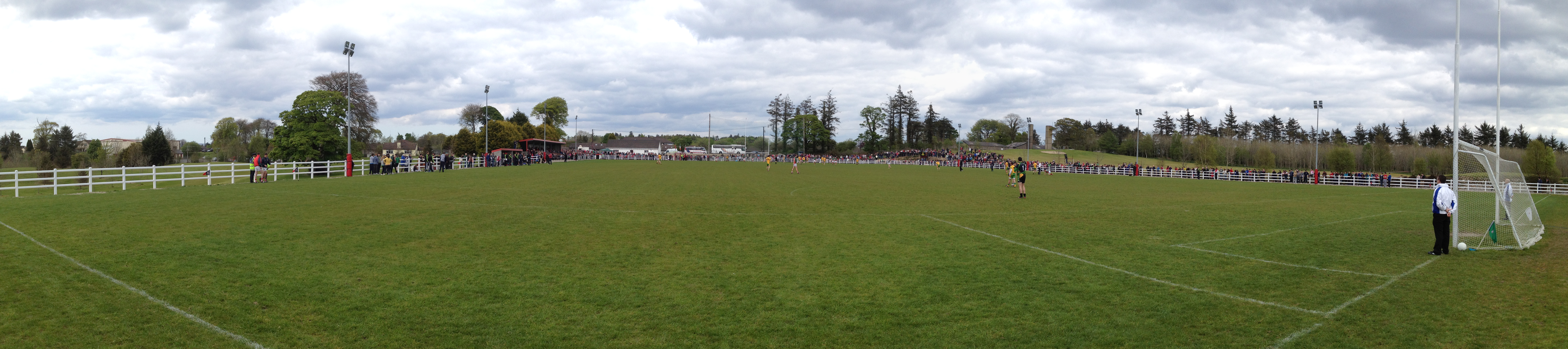 Robert McCallion Memorial Park, Swinford GAAGAA ground · 1.2 mi
 Fairy fort / stone ringfort in Cuillaun (gallen By.)Fairy fort / stone ringfort · 2.3 mi
Explorer Tom Fairy fort in Cuillaun sits in such boggy heather that the fairies must have worn wellies to build it, yet they left no…
 Standing stone in Brackloon (gallen By.)Standing stone · 3.6 mi
Explorer Tom Standing stone in Brackloon is leaning so far over it’s practically napping on the hillside. I reckon it dodged the…
More archaeology and monuments in County Mayo · All of County Mayo

What do you know about this place?Tap to add a comment or ask a question