What is recorded here
Located c. 50-60m from the S shore of Clooncoe Lough (dims c. 1.2km N-S; c. 200-250m E-W), it is depicted as an island an estate map (Wogan 1750, 26) and later OS maps. This is an overgrown circular feature (diam. 27.5m E-W; H 0.7m) with evidence of timber stake construction along the perimeter at NW. A stone pier at WNW is probably modern. A programme of radiocarbon dating undertaken by the Discovery Programme produced a date of 855 +- 20 BP (AD 1155-1248) from wood taken from the crannog (O’Conor and Fredengren 2019, 91).
The above description is derived from 'The Archaeological Inventory of County Leitrim' compiled by Michael J. Moore (Dublin: Stationery Office, 2003). In certain instances the entries have been revised and updated in the light of recent research.
Compiled by: Michael Moore
Date of revised upload: 30 December 2019
The monument record does not grant public access. Check the route and ask the landowner before entering private land.
- What survives
- Recorded monument
Places near here
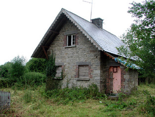 Lough Rynn Housegate lodge · 273 yd
 OratoryCastle, tower house · 315 yd
 IndicatedEnclosure · 317 yd
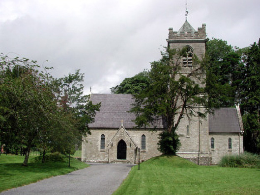 Saint Mary's Church (Cloone)church/chapel · 374 yd
 Derrinch IslandIslet · 937 yd
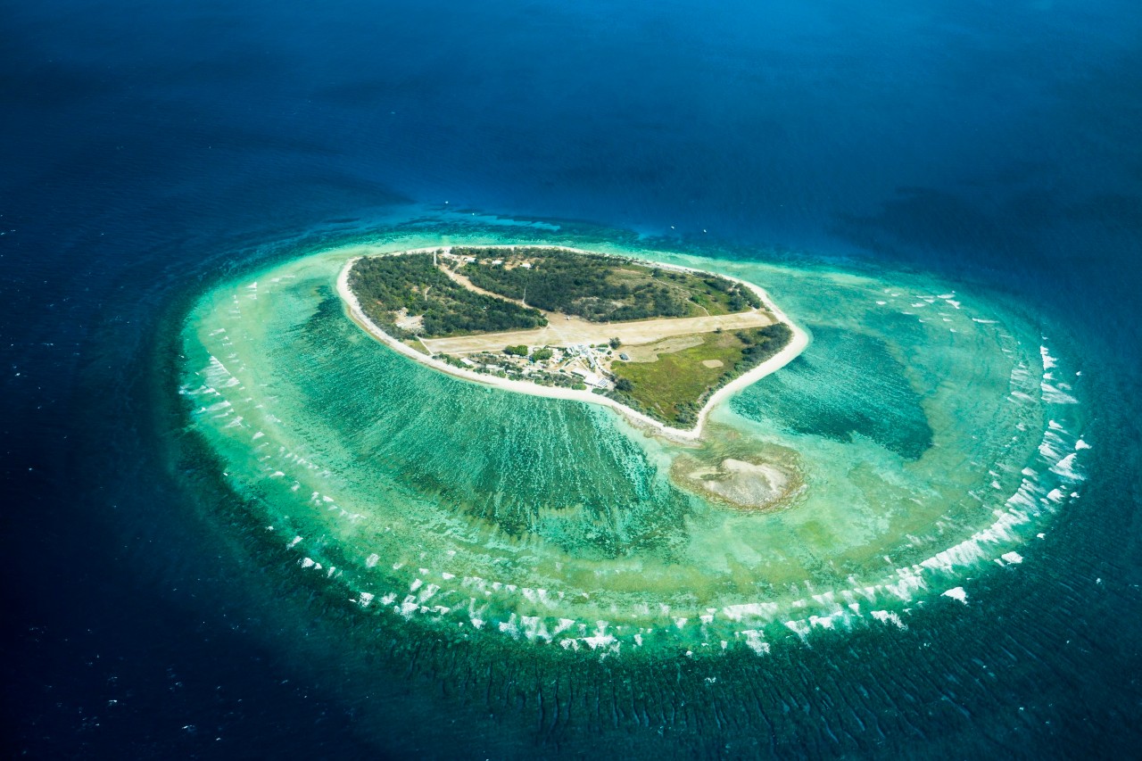 Lady Elizabeth's IslandIslet · 1.1 mi
 Druid's AltarArchaeological place · 1.3 mi
 Holm OakHolm Oak · 1.4 mi
 CastleCastle, tower house · 1.5 mi
 Western HemlockWestern Hemlock · 1.5 mi
 Giant's GraveArchaeological place · 2.5 mi
 Cavan & Leitrim RailwayMuseum · 3.6 mi