What is recorded here
Low oval mound (dims. c. 14m N-S, c. 9m E-W, H c. 0.5m). Possibly natural.
The above description is derived from the published 'Archaeological Inventory of County Meath' (Dublin: Stationery Office, 1987). In certain instances the entries have been revised and updated in the light of recent research.
Date of upload/revision: 10 July 2007
The monument record does not grant public access. Check the route and ask the landowner before entering private land.
- What survives
- Recorded monument
Places near here
 Embanked enclosure in DowthEmbanked enclosure · 129 yd
 Boyne Currach CentreHeritage attraction · 715 yd
 Brú na Bóinne Visitor Centreheritage centre/interpretative centre · 918 yd
 Brú na Bóinne Visitors CentreVisitor information · 944 yd
 Newgrange TumulusPassage tomb · 961 yd
 NewgrangeHeritage attraction · 961 yd
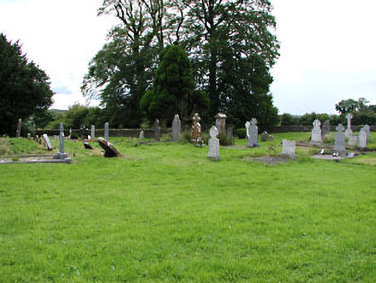 Netterville Manorgraveyard/cemetery · 1484 yd
 Dowth CastleCastle, tower house · 1556 yd
 Knowth Fox CovertWood · 1.3 mi
 Glenmore ForestWood · 1.6 mi
 Proudfootstown CastleCastle, unclassified · 1.9 mi
 Battle of the BoyneMajor battlefield · 2.5 mi