
What is recorded here
Brú na Bóinne Visitor Centre in Roughgrange has buried itself under grassy mounds to fit in with the ancient monuments. A bold approach to meeting the neighbours: arrive in 1997 and pretend you've been under that hill for five thousand years.
Detached muiltiple-bay multiple-storey interpretative centre, c.1997. Built on an irregular plan and constructed using a variety of materials including structural steel, reinforced concrete and the extensive use of plate glass. Built into the eastern bank of the River Boyne and designed to give the impression that it is sunken into the landscape. This is achieved by the presence of mounds of earth, almost like Neolithic cairns, on the roof of the structure. A steel built suspension bridge and winding spiral pathways link the vistor centre to the archaeological complex across the River Boyne.
Very interesting and innovative modern building which clearly illustrates that architectural heritage is continuously being created. Designed by Tony O'Neill in 1997, this structure acts as the gateway to the Brú na Bóinne World Heritage Site. This building almost disappears into the landscape, creating a structure that does not overpower the natural beauty or the important cultural heritage of the Bend in the Boyne area.
From the Buildings of Ireland (National Inventory of Architectural Heritage) record 14402015
This does not grant access. Most recorded buildings are privately owned; view them only from public ground unless the owner allows entry.
Places near here
 Brú na Bóinne Visitors CentreVisitor information · 29 yd
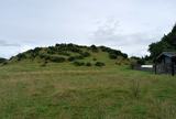 DowthNeolithic passage tomb · 1149 yd
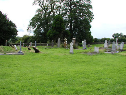 Netterville ManorGraveyard/cemetery · 1231 yd
 Netterville ManorChurch/chapel · 1272 ydDowth CastleCastle, tower house · 1280 yd
 Newgrange TumulusPassage tomb · 1.1 mi
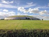 NewgrangeHeritage attraction · 1.1 miProudfootstown CastleCastle, unclassified · 1.7 mi
 Not indicatedPassage tomb · 1.8 mi
 European Yew2.2 miEuropean Yew2.2 miGrove IslandIslet · 2.6 mi
Pictures: John M, Wikimedia Commons · CC BY-SA 2.0; William Ellison, Wikimedia Commons · CC BY-SA 4.0; National Inventory of Architectural Heritage; Martin Richard Phelan, Geograph · CC BY-SA 2.0; Tjp finn, Wikimedia Commons · CC BY-SA 4.0; John M, Geograph · CC BY-SA 2.0; Sitomon, Wikimedia Commons · CC BY-SA 2.0
More historic places in County Meath · All of County Meath
What do you know about this place?