
What is recorded here
Situated on a NE-SW ridge. The name ‘Shanrath’ meaning an 'old fort' is recorded only on the 1949 revision of the OS 6-inch map. It is not known locally, no archaeological feature is visible at ground level in pasture and its precise location is not known.
The above description is derived from the published 'Archaeological Inventory of County Monaghan' (Dublin: Stationery Office, 1986). In certain instances the entries have been revised and updated in the light of recent research.
Date of revision: 12 December 2017
The monument record does not grant public access. Check the route and ask the landowner before entering private land.
- What survives
- Recorded monument
Places near here
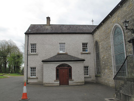 Saint Mary's Catholic Churchpresbytery/parochial/curate's house · 231 yd
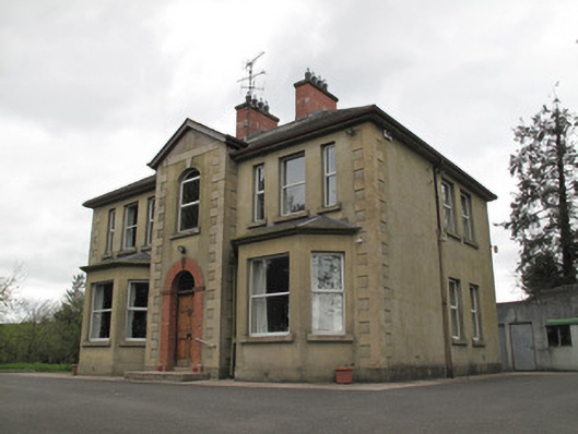 presbytery/parochial/curate's housepresbytery/parochial/curate's house · 365 yd
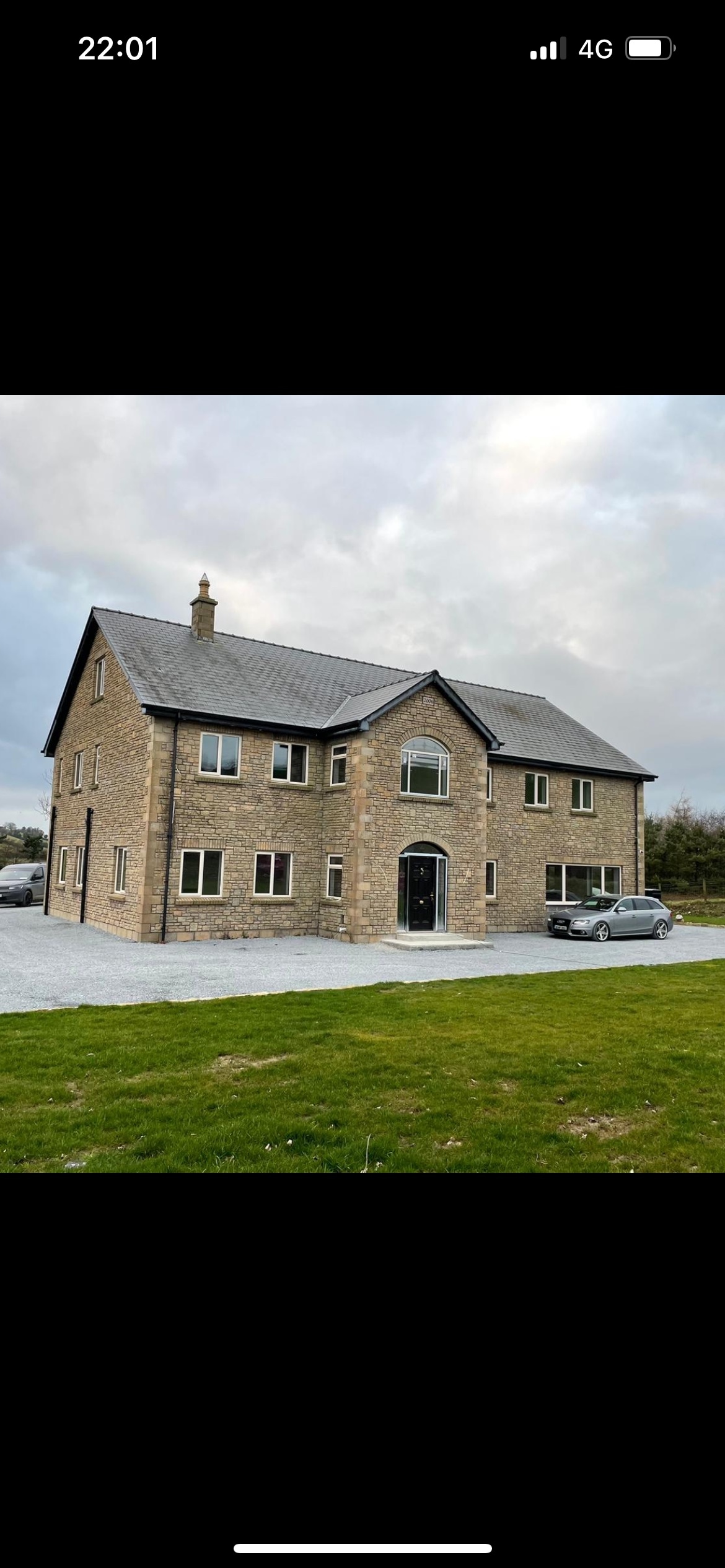 LisleaghanFairy fort / earthen ringfort · 780 yd
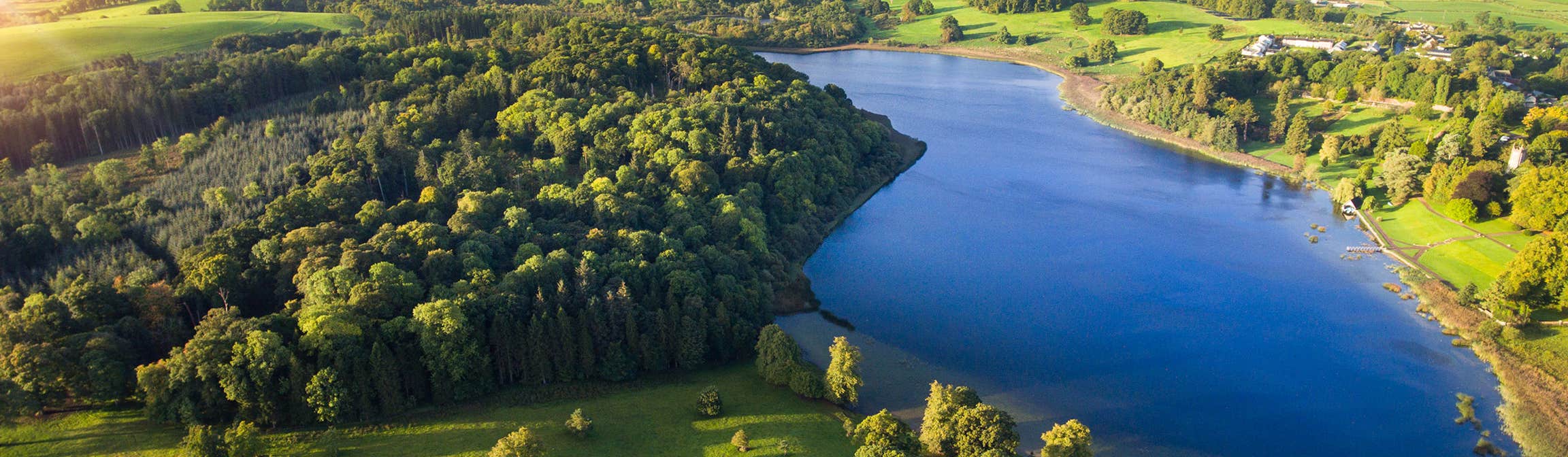 LiscusseeFairy fort / earthen ringfort · 940 yd
 Western RedcedarWestern Redcedar · 1054 yd
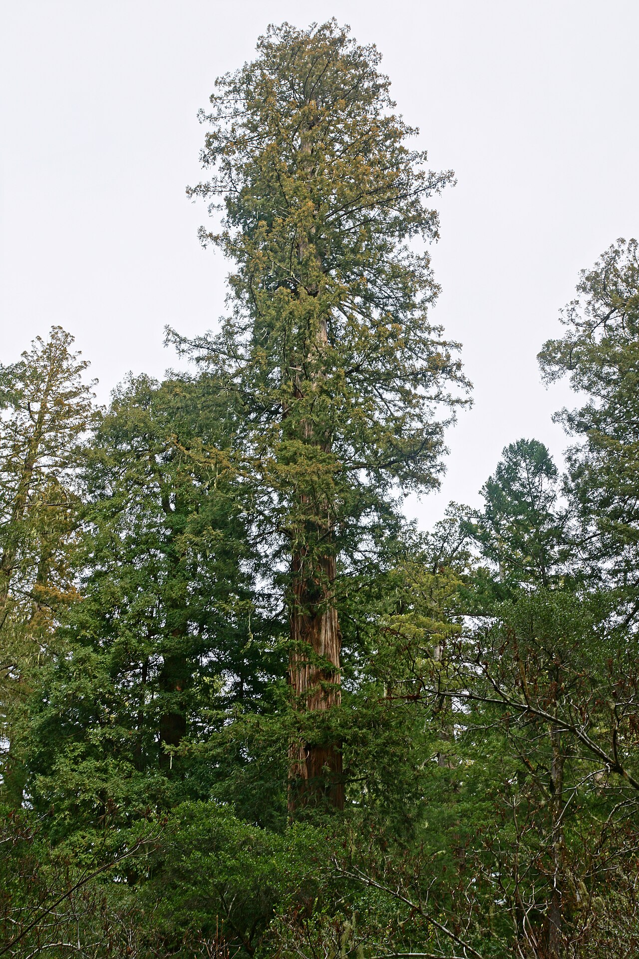 Coast RedwoodCoast Redwood · 1068 yd
 Rough HillMountain / peak · 2.8 mi
 Sliabh Beagh Hotel and Tourism CentreVisitor information · 3.2 mi
 Banba GiantHeritage attraction · 4.3 mi
 Monaghan County MuseumMuseum · 4.3 mi
 Rossmore MonumentMemorial · 4.4 mi
 Bawn in Roosky (monaghan By., Monaghan Par.)Bawn · 4.4 mi
Other information
Photo: Credit not shown in the picture search · Rights wording not checked; contact us if this picture should be removed